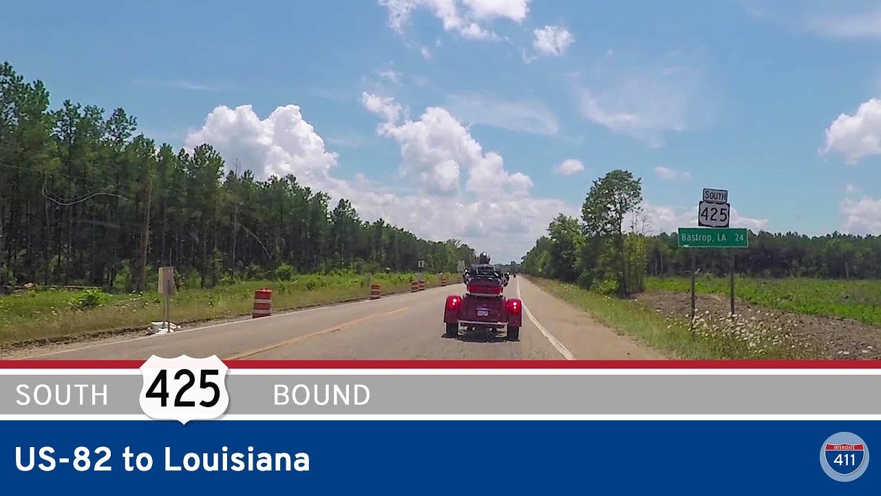
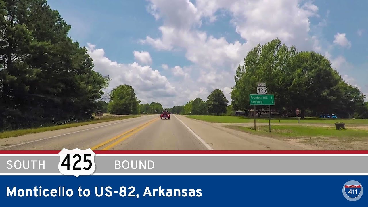
Take a tranquil ride through the bayou-laced landscape of northeastern Louisiana as we follow a scenic 27-mile stretch of U.S. Route 425 from the Arkansas state line to the city of Bastrop. This quiet drive introduces us to the rhythm of rural Louisiana, weaving through pine groves, farmland, and pockets of historic culture nestled amid the flat, fertile lands of Morehouse Parish.
We begin our journey at the Arkansas-Louisiana border, where US-425 descends from the Natural State and enters Louisiana just south of Crossett. Immediately, we find ourselves enveloped in thick stands of pine and hardwoods, remnants of the once-vast forests that shaped the economy of this region. The road here is calm and straight, surrounded by rich, loamy soil that hints at the agricultural roots of the area. Not far past the state line, we reach the intersection with LA-590, marking the beginning of the route’s subtle bend toward the southwest.
A few miles down the road, we approach Chemin-A-Haut State Park, an elevated bluff overlooking Bayou Bartholomew. This historic bayou is known as one of the longest in the world, winding over 350 miles through Arkansas and Louisiana. The park itself is one of Louisiana’s oldest, offering a peaceful retreat for camping, hiking, and paddling, and the French name—meaning “High Road”—offers a linguistic nod to the area’s early settlers. A short jog to the west sits LA-142, a rural route that connects nearby hamlets and agricultural outposts. Just south of this junction, we enter the tiny community of Log Cabin, a blink-and-you’ll-miss-it place with a name as rustic as its surroundings.
As we leave Log Cabin behind, US-425 begins to bear more traffic and development. The woods thin and fields of cotton and soybeans stretch toward the horizon. We soon roll into the outskirts of Bastrop, the parish seat of Morehouse Parish. Here, the landscape transitions once again—tracts of farmland give way to modest commercial strips and residential streets. We pass small businesses and local eateries that hint at the town’s identity: a crossroads of commerce and culture. At the heart of Bastrop, we reach the intersection with US-165, the major north-south corridor that carries travelers deeper into Louisiana or back toward Monroe and Alexandria. Our drive concludes just past this intersection, where US-425 continues south into town, and we briefly turn east on US-165, wrapping up this peaceful Louisiana ride.
This stretch of US-425 may not be long, but it’s rich in local texture—a corridor where nature, heritage, and history all intersect. From the forested borderlands to the tidy grid of Bastrop’s main streets, the road tells the story of a region that quietly preserves its past while serving as a gateway to the deeper south.
🗺️ Route Map
0 Comments