Take a scenic ride across northeast Oklahoma as we follow U.S. Route 412 from the urban edge of Tulsa to the Arkansas state line at Siloam Springs. This 83-mile drive blends metropolitan expressway, rolling countryside, and the rising contours of the Ozark foothills — all while serving as one of the region’s key east–west arteries.
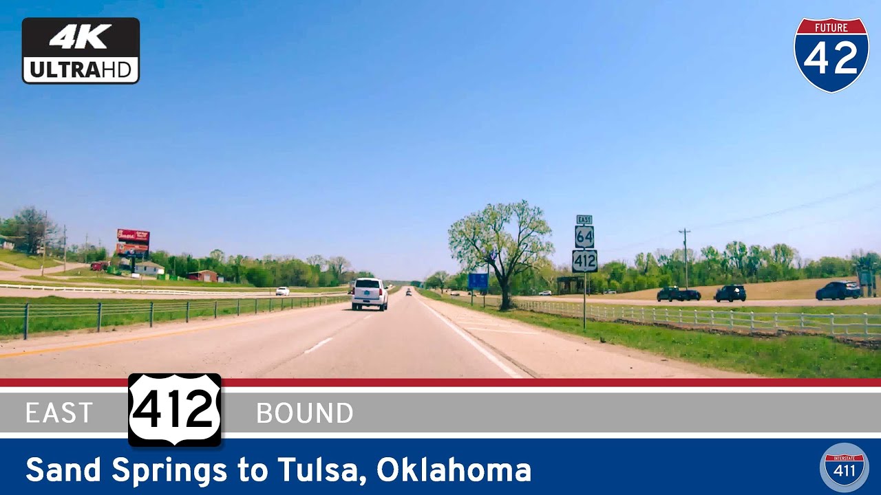
Our journey begins on the north side of Tulsa where U.S. 412 departs from the city grid just beyond the junction with Interstate 244. Here, the highway functions as a limited-access expressway, slicing through industrial zones and suburban sprawl with sweeping on-ramps and sound barriers that quickly usher us away from the city’s urban rhythm. As we crest the Verdigris River near Catoosa, the landscape opens up and the sense of eastward motion deepens. The drive is fast and fluid — a byproduct of Tulsa’s planning and the continued investment in this corridor as a gateway to northwest Arkansas.
Past the outskirts of Tulsa, the expressway drops hints of Oklahoma’s dual identity — part prairie, part upland. We glide past the towns of Inola and Chouteau, where open fields stretch toward the horizon, dotted with grain silos, cattle operations, and the occasional blinking radio tower. These towns, once built along rail lines and rural highways, now straddle a corridor of movement that’s as much about logistics and commerce as it is about connecting people. Yet there’s still a charm to it all — a subtle rhythm in the rows of utility poles, the faded storefronts downtown, and the sleepy backroads that run perpendicular to the highway. The terrain undulates gently, and while the scenery is utilitarian, it’s anything but boring. Every few miles offers a glimpse of old barns, patches of woodland, or the kind of lonely diner that belongs in a postcard.
As we push eastward past Locust Grove, a transformation begins. The road curves more often now, responding to the undulating shoulders of the Ozarks. The town of Kansas — yes, Kansas, Oklahoma — marks the gateway to these low-slung mountains. Here, the wooded terrain becomes more pronounced, and though U.S. 412 retains its divided highway configuration, there’s a noticeable intimacy to the landscape. Hills flank the highway. Creeks braid the valleys. And as we approach the Cherokee Nation heartland, there’s a cultural texture that joins the natural one — tribal headquarters, Cherokee-language signage, and reminders of the enduring presence of Indigenous communities in the area.
Arriving in West Siloam Springs, the environment shifts again. The roadside becomes busier, marked by truck stops, fast food signs, and the Cherokee Casino, a popular waypoint just before the Arkansas line. This final leg of the route blends rural hospitality with border-town commerce. The last few miles are an overture to the Boston Mountains, visible just beyond Siloam Springs. As we cross into Arkansas, the landscape stiffens once more — the Ozarks are no longer a suggestion, but a fact. Steep grades, pine stands, and limestone outcroppings await east of town.
In many ways, this segment of U.S. Route 412 is a study in contrasts — from expressway efficiency to rural resilience, from prairie openness to forested embrace. It’s not a headline-grabber like its cousins in the Rockies or Appalachians, but it’s a vital stretch of road that carries people between two growing regions. And like much of Oklahoma, its beauty lies in motion — in the way the land changes slowly beneath your wheels and in the subtle invitation to keep going just a little farther down the road.
🎵 Music: Track List
🗺️ Route Map
0 Comments