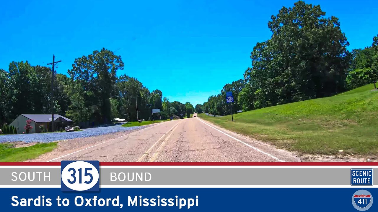
Discover the scenic 5-mile drive along Mississippi Highway 315 from Sardis to Oxford. Pass beneath the massive Sardis Dam, wind through wooded hills and farmland, and finish at the gateway to Oxford’s cultural and university life.
Mississippi’s state highway system weaves through a landscape rich with Southern heritage, blues music, and Delta farmland. Managed by the Mississippi Department of Transportation (MDOT), these highways serve as vital connectors between rural communities, major cities like Jackson and Gulfport, and the interstate system. Many of these roads trace their origins back to early 20th-century routes, offering scenic drives and local access across the Magnolia State.
The network is composed of both primary and secondary highways, with route numbers typically designated as MS followed by a number (e.g., MS 1, MS 25). Primary routes often span significant distances and connect key urban areas or cross state lines, while secondary highways tend to provide more localized service. Notable state highways include MS 1 along the Mississippi River and MS 49, a critical north-south corridor that links the Gulf Coast with central Mississippi.
Travelers on Mississippi’s state highways can expect a mix of rural beauty and historical context, from Civil War battlefields and antebellum architecture to stretches of the Blues Trail. These roads are essential not just for transportation, but for preserving the unique cultural identity and accessibility of Mississippi’s diverse regions.
Discover the scenic 5-mile drive along Mississippi Highway 315 from Sardis to Oxford. Pass beneath the massive Sardis Dam, wind through wooded hills and farmland, and finish at the gateway to Oxford’s cultural and university life.
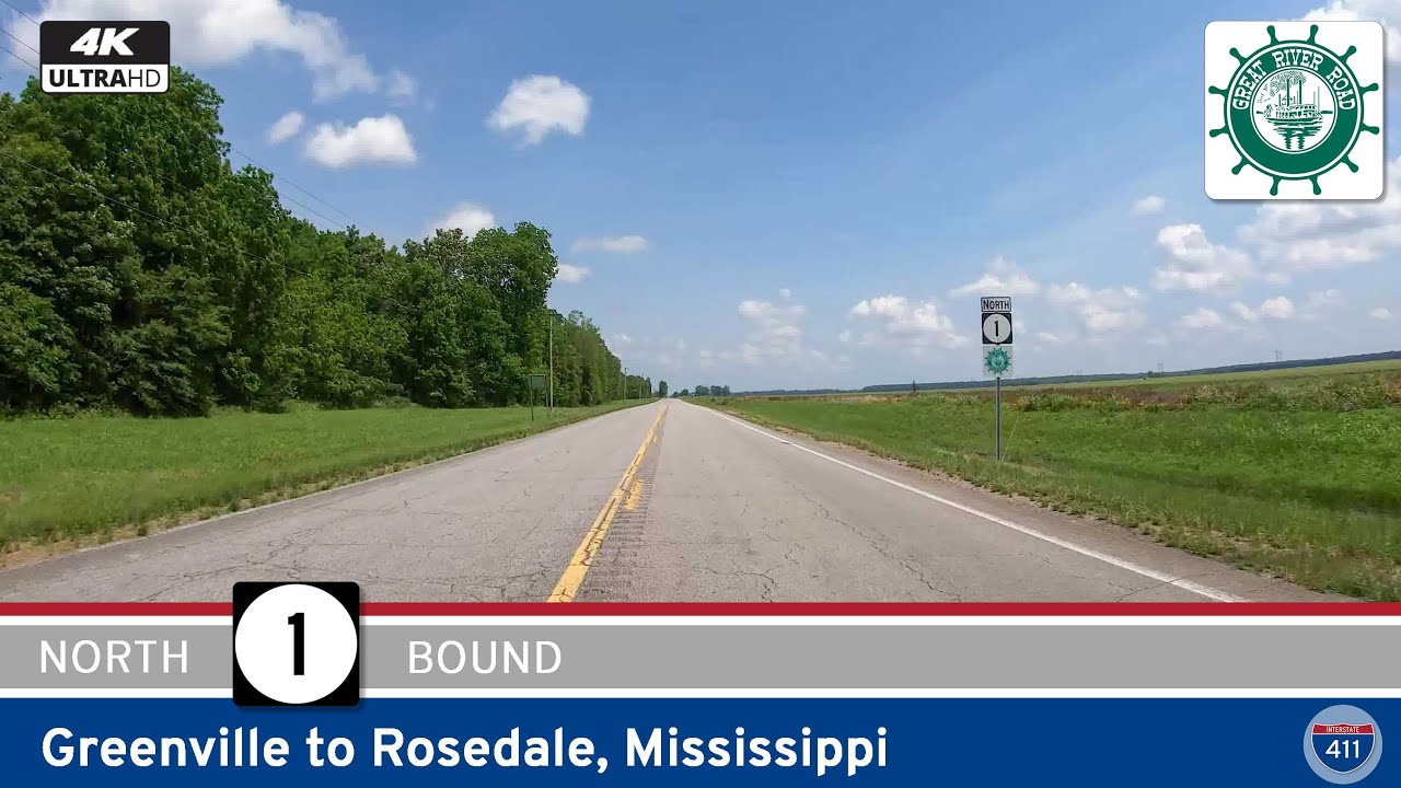
Travel 38 miles along Mississippi Highway 1 from Greenville to Rosedale, exploring a scenic stretch of the Great River Road through farmland, oxbow lakes, historic mounds, and classic Delta towns.
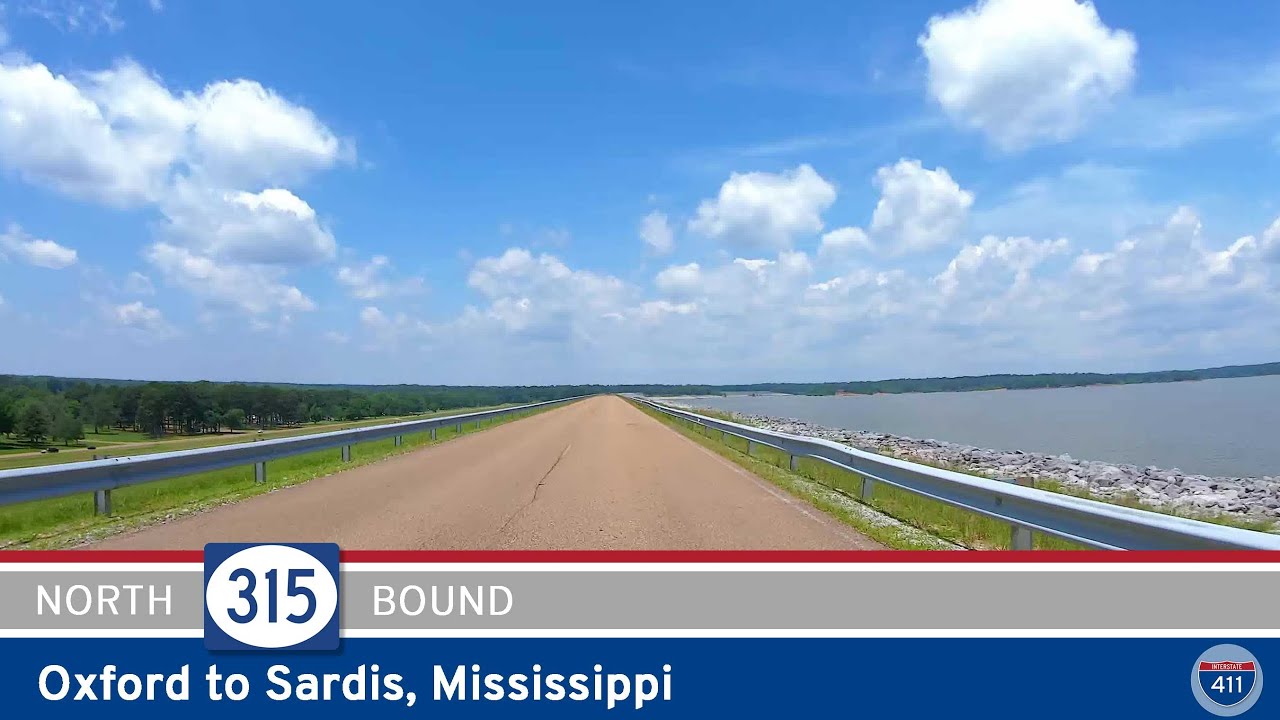
Take a 15-mile drive along Mississippi Highway 315 from Oxford to Sardis. Explore quiet rural roads, scenic Sardis Dam, and the recreational beauty of northern Mississippi along this peaceful and varied route.
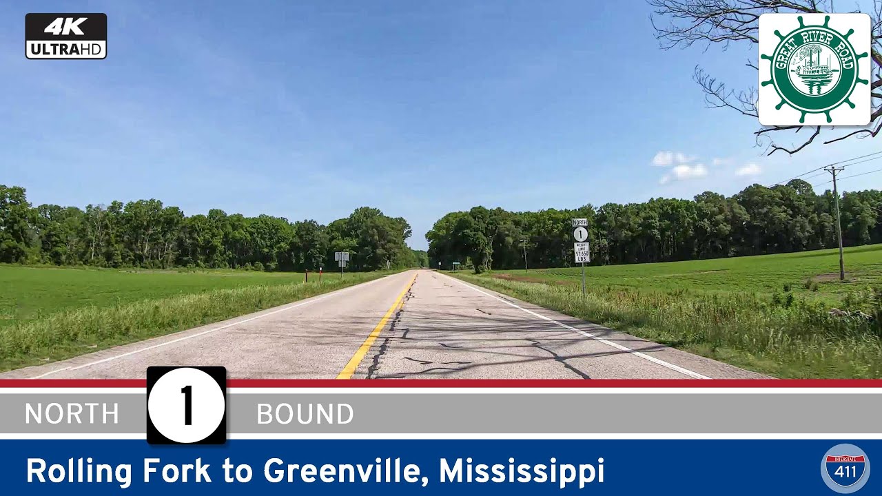
Take a 36-mile drive along Mississippi Highway 1 from Rolling Fork to Greenville and explore the scenic heart of the Mississippi Delta. From small farming communities to the edges of the Mississippi River, this segment of the Great River Road offers a peaceful glimpse i…
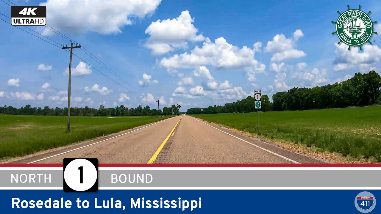
Travel 54 miles through the Mississippi Delta along Mississippi Highway 1 from Rosedale to Lula. Part of the scenic Great River Road, this drive offers rural charm, historic Delta towns, and a deep look into the region’s cultural and agricultural heritage.
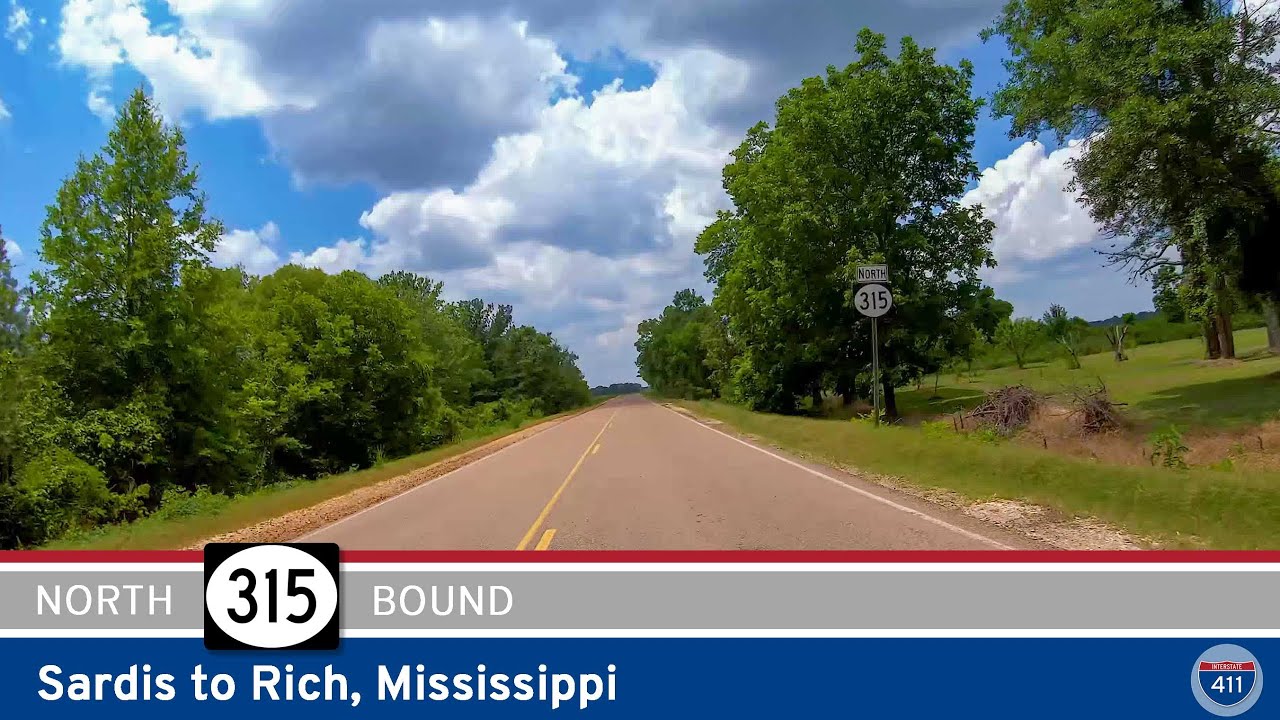
Travel 34 peaceful miles along Mississippi Highway 315 from Sardis to Rich, passing through quiet Delta communities like Sledge and Birdie. This scenic rural route highlights the agricultural roots and history of northern Mississippi.
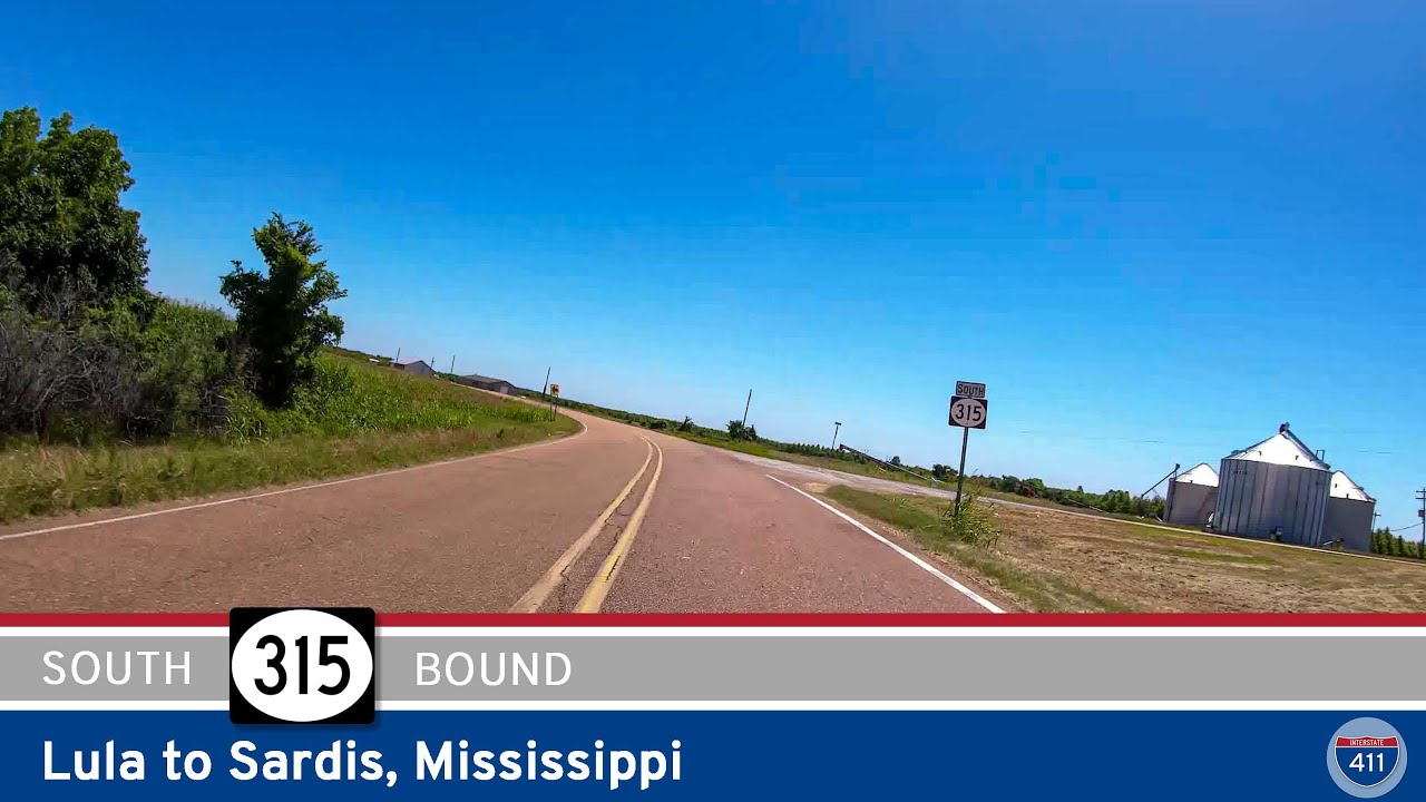
Travel Mississippi Highway 315 from Rich to Sardis and explore 34 miles of Delta farmland, small-town charm, and rolling hills. A quiet, scenic drive through the heart of northwestern Mississippi.
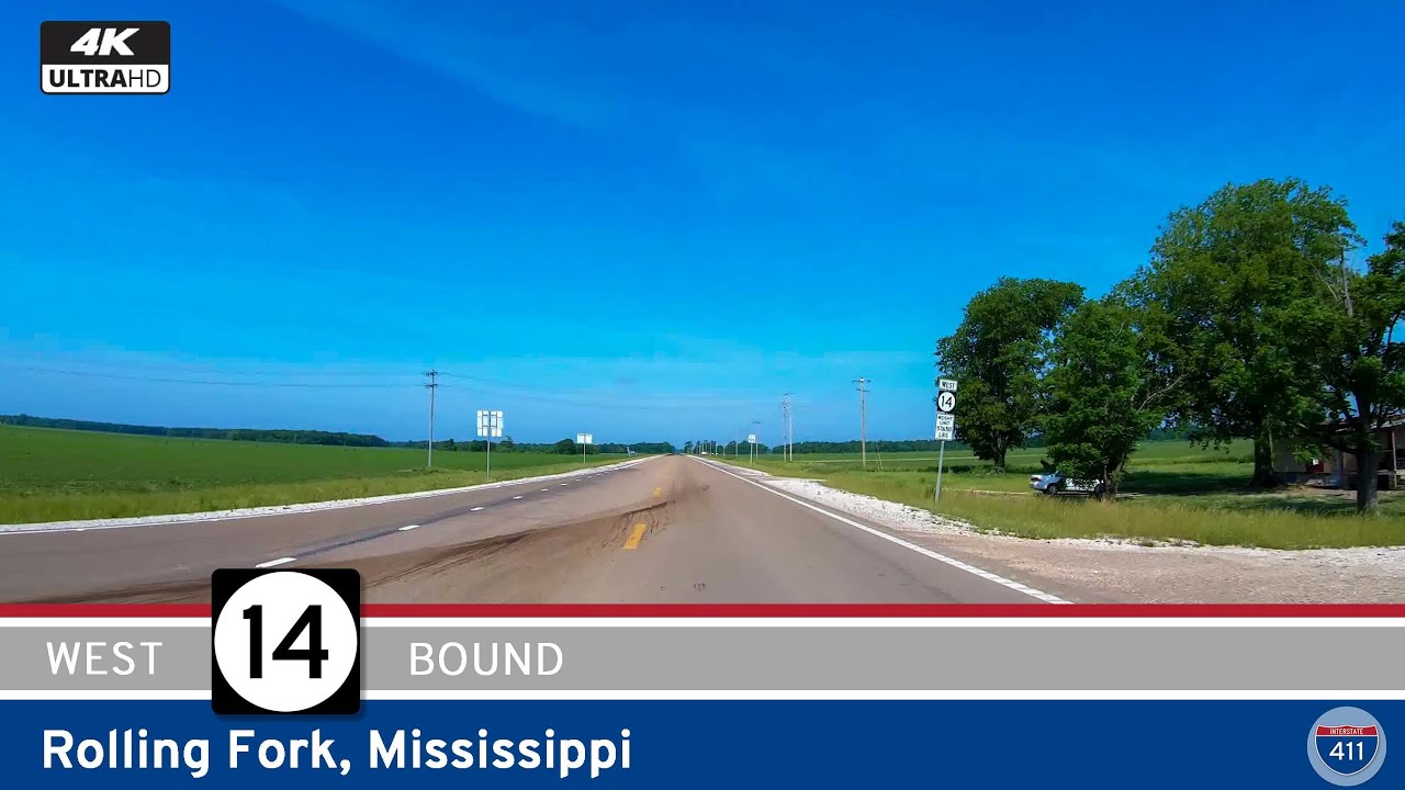
Travel five miles west along Mississippi Highway 14 through Rolling Fork, Mississippi, for a short but scenic drive that begins on Race Street and ends at Highway 1. Explore the Mississippi Delta’s quiet charm and history.
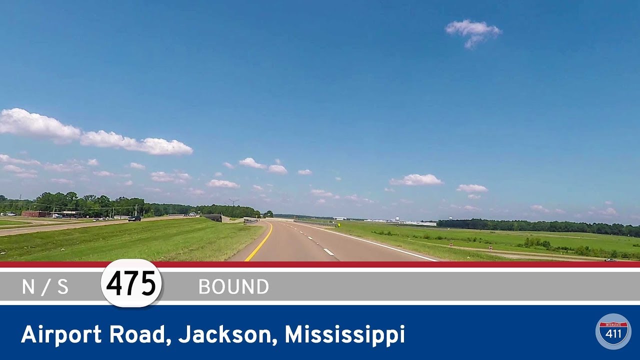
Drive both directions on Mississippi Highway 475 – Airport Road – through the heart of suburban Jackson, MS. This key connector serves the Jackson-Medgar Wiley Evers International Airport and links MS-468 to US-80 in Flowood.
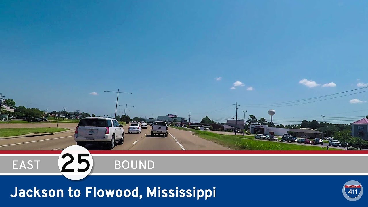
Drive 3.5 miles along Mississippi Highway 25 (Lakeland Drive) from Jackson to Flowood, passing LeFleur’s Bluff State Park and crossing the Pearl River into a growing suburb full of shopping and dining.