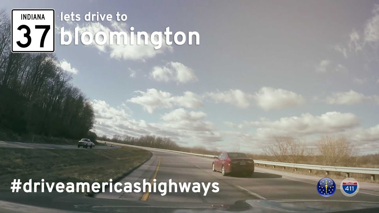
Drive 48 miles along Indiana State Road 37 from Indianapolis to Bloomington—capturing a now-lost version of the highway before its full transformation into Interstate 69.
Indiana’s state highway system forms a comprehensive and efficient network that connects cities, rural communities, and major interstates across the Hoosier State. Managed by the Indiana Department of Transportation (INDOT), these highways play a vital role in supporting commerce, daily commuting, and tourism. Whether you’re driving through farmland in central Indiana or navigating around the metro areas like Indianapolis, Fort Wayne, or Evansville, state highways serve as essential routes in the overall transportation grid.
Indiana’s state highway numbering generally follows a logical pattern, with odd-numbered routes typically running north-south and even-numbered routes running east-west. Some of the most well-known state highways include State Road 37, which has been gradually replaced in parts by the I-69 extension, and State Road 46, a popular east-west corridor in southern Indiana. Many state highways serve as connectors to the interstate system, offering travelers alternatives to congested freeways or scenic routes through less-traveled parts of the state.
Beyond their utility, Indiana’s state highways often offer a glimpse into the state’s rich history and diverse geography. From scenic drives through the rolling hills of Brown County to flat farmland roads that echo the state’s agricultural heritage, these routes are more than just pavement—they’re pathways through Indiana’s culture, economy, and daily life.
Drive 48 miles along Indiana State Road 37 from Indianapolis to Bloomington—capturing a now-lost version of the highway before its full transformation into Interstate 69.