Arkansas Highway 9 (AR 9) is a significant north–south state highway traversing central and northern Arkansas. Established in 1926, AR 9 is divided into three distinct segments, collectively covering approximately 225 miles. The route offers a diverse journey through the state’s varied landscapes, from the pine forests of the south to the Ozark Mountains in the north.
Southern Segment: Eagle Mills to Malvern
The southernmost segment of AR 9 begins at U.S. Route 79 in Eagle Mills, Ouachita County. It proceeds northward through rural communities such as Holly Springs, Princeton, Tulip, and Lono. The route concludes in Malvern at U.S. Route 67, serving as a connector between small towns and facilitating access to larger highways.
Central Segment: Crows to Choctaw
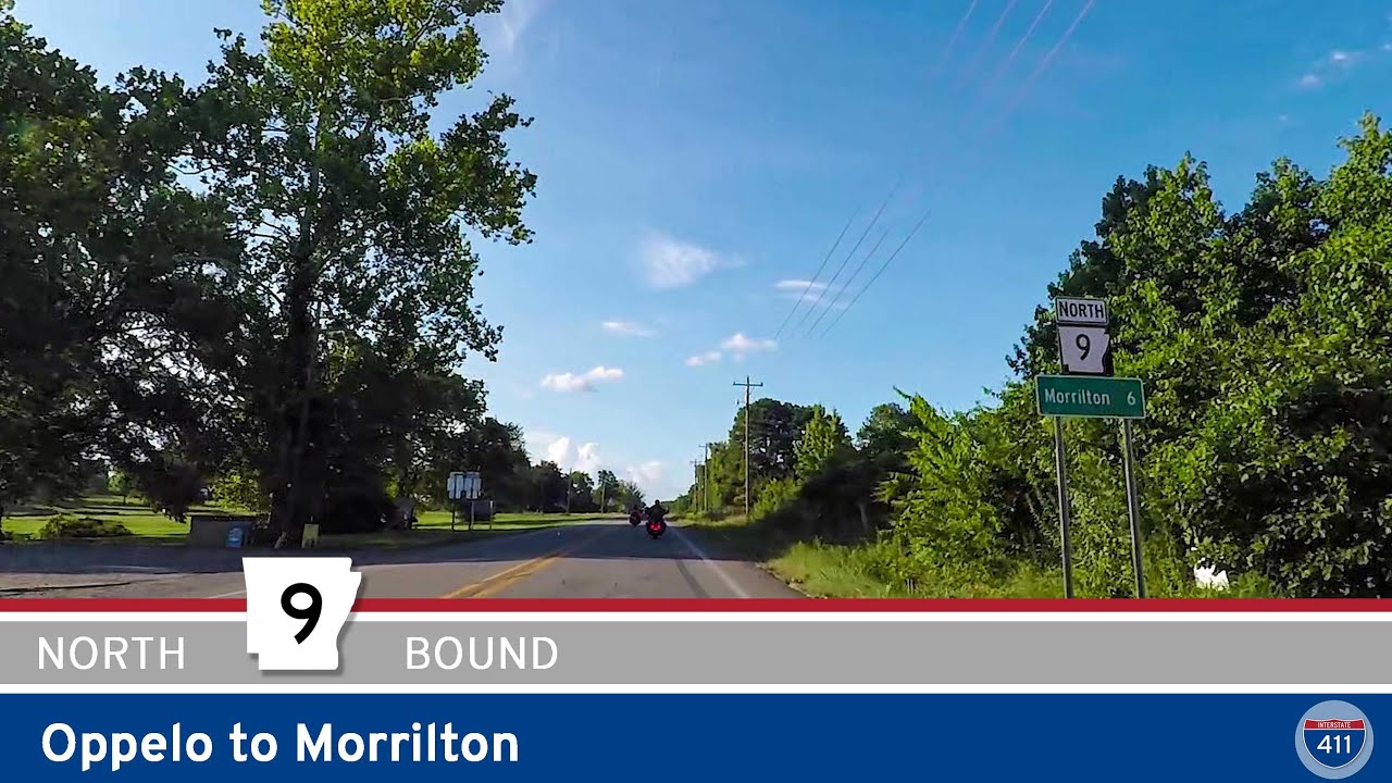
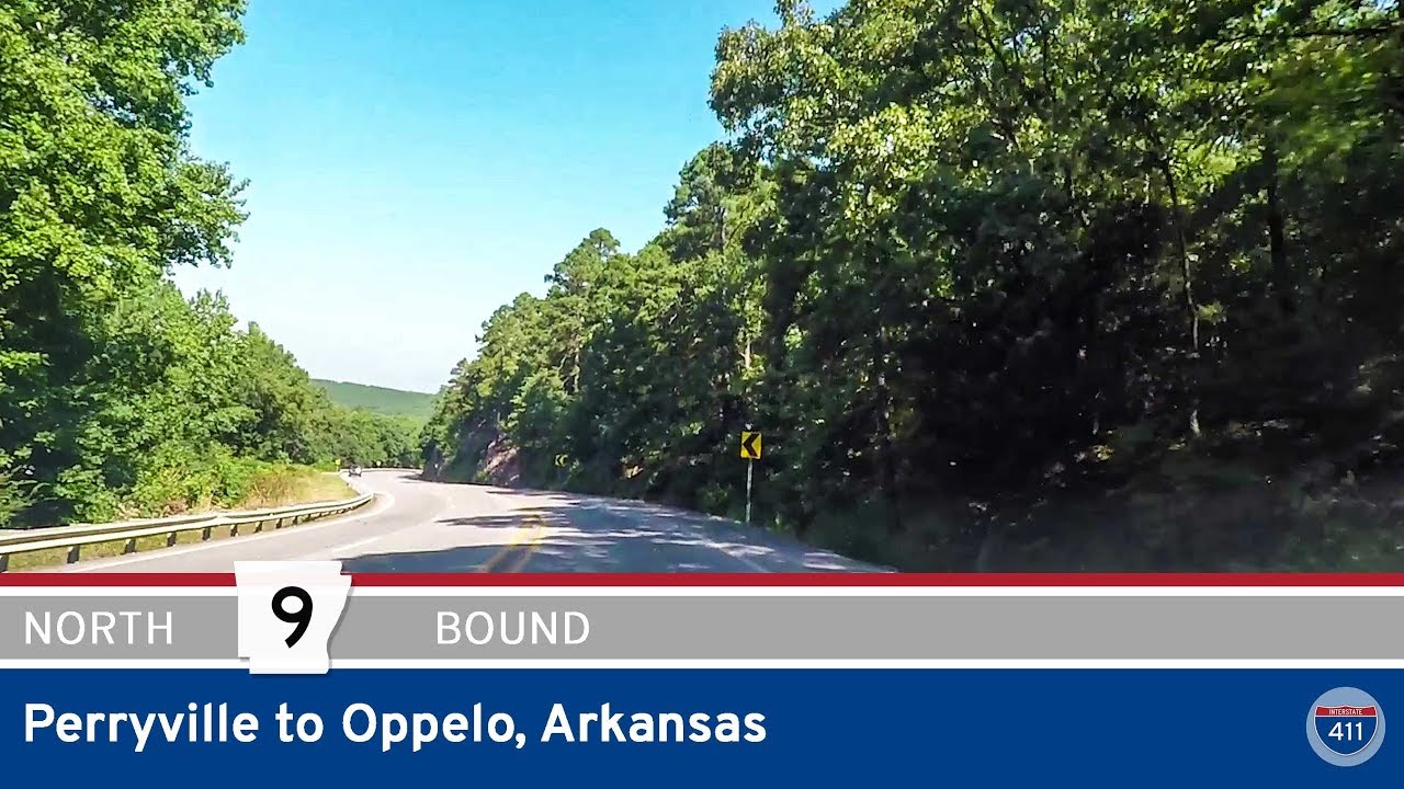
Resuming in Crows, Saline County, the central segment of AR 9 extends north to U.S. Route 65 in Choctaw. This portion of the highway passes through the Ouachita Mountains and the Arkansas River Valley, intersecting with major routes such as AR 10 in Perryville and U.S. Route 64 in Morrilton. The terrain varies from mountainous regions to rolling valleys, offering scenic views and access to recreational areas.
Northern Segment: Clinton to Mammoth Spring
The northernmost segment starts at U.S. Route 65 in Clinton and stretches to U.S. Route 63 in Mammoth Spring, near the Missouri border. This segment traverses the Ozark Mountains, passing through towns like Shirley, Mountain View, Melbourne, and Salem. It offers access to cultural sites and natural attractions, including the Ozark Folk Center and various outdoor recreational areas.
Historical and Cultural Significance
AR 9 holds historical importance, with portions designated as Arkansas Heritage Trails, recognizing their roles in events such as the Civil War and the Trail of Tears. The highway’s alignment has remained relatively consistent since its inception, preserving its historical route through the state.
SEO Description:
Explore Arkansas Highway 9, a historic north–south route spanning approximately 225 miles through central and northern Arkansas. Discover scenic landscapes, cultural landmarks, and key connections from Eagle Mills to Mammoth Spring.