Take a winding drive through the heart of central Arkansas as we follow Arkansas Highway 9 from the quiet crossroads of Crows northward to Morrilton. This 46-mile journey carries us through wooded hills, small towns, and the fertile Arkansas River Valley, linking the Ouachita foothills with one of the most historic communities along the Arkansas River.
Our trip begins at the junction with Arkansas Highway 5 in Crows, a small but significant rural node south of Paron. From here, Highway 9 heads north into a landscape that quickly reveals the blend of pine forest and open farmland that defines western Saline County. Rolling hills carry us past scattered homesteads and through the community of Paron, where life still revolves around local schools, churches, and the winding rhythm of country roads. The road’s curves and grades remind us that we are climbing into the shoulders of the Ouachita Mountains, a natural transition zone between the lowlands around Little Rock and the higher country farther west.
As we continue northward, we reach Williams Junction, a classic rural crossroads where several highways intersect. This has long been a gateway spot: eastward routes connect toward Little Rock, while Highway 9 presses onward into Perry County. The scenery here grows more rugged, the roadway bending and dipping with the land. Small creeks cut through the valleys, their banks shaded by hardwoods that turn brilliant colors in autumn. Near Thornburg, the ridges give way to gentler ground, signaling our approach to Perryville, the county seat.
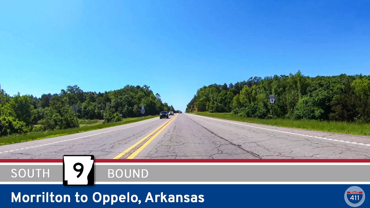
In Perryville, Highway 9 becomes Main Street, guiding us past the courthouse square and through a town that reflects its role as the administrative and cultural hub of Perry County. From historic buildings around the square to the proximity of Lake Sylvia and the Ouachita National Forest just to the west, Perryville is a reminder of how closely tied the area is to both government and recreation. North of town, the highway carries us through the small communities of Perry and Oppelo, where the land flattens into the Arkansas River Valley. Here, agriculture takes precedence, with broad fields stretching toward the horizon and grain silos dotting the roadside.
This stretch of Highway 9 is also notable for its access to Petit Jean State Park, Arkansas’s first state park and one of its most beloved natural destinations. Just west of Oppelo, visitors can turn off toward the park’s rugged cliffs, waterfalls, and sweeping overlooks. Back on the mainline, our route parallels the Arkansas River before bending into Morrilton. Entering town, Highway 9 meets East Harding Street and transitions into Highway 9 Business, threading into the community’s historic core. Morrilton itself carries the legacy of the river trade, the railroad, and its proximity to Petit Jean Mountain, making it a fitting endpoint for our journey.
Reflecting on the drive, we see how Arkansas Highway 9 ties together distinct landscapes — the wooded hills of Saline County, the foothills of Perry County, and the rich valley of the Arkansas River. More than just a connector road, it is a cross-section of rural life in central Arkansas, bridging communities that have grown alongside forests, farms, and the river itself.
🎵 Music: Track List
🗺️ Route Map
0 Comments