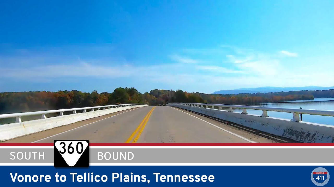
Enjoy a peaceful, scenic 22-mile drive along Tennessee State Route 360 from Vonore to Tellico Plains. This rural route passes Fort Loudoun, Ballplay, and ends near the Cherohala Skyway, offering forest views, fall colors, and Appalachian charm.
The 🦆 Wetlands tag is used for routes that pass through or alongside marshes, swamps, bayous, or floodplain ecosystems. These areas are often rich in biodiversity and feature a mix of standing water, tall grasses, cypress trees, and wildlife such as herons, egrets, turtles, and of course, ducks. Driving through wetlands often brings a tranquil, otherworldly quality—especially when the road is elevated above water on stilts, causeways, or narrow levees.
Wetland routes can be found throughout the United States, but are especially common in the Southeast, Gulf Coast, and Great Lakes regions. These drives might include long bridges, slow curves through wildlife preserves, or boardwalk-adjacent roadways. The scenery shifts with the seasons and water levels, often making the same route feel completely different depending on when you visit.
Because of the fragile nature of wetland ecosystems, many of these roads include interpretive signs, scenic pull-offs, or nearby nature trails. Birdwatchers and photographers often favor these routes for the chance to spot migratory species or dramatic skies reflected in still water.
Enjoy a peaceful, scenic 22-mile drive along Tennessee State Route 360 from Vonore to Tellico Plains. This rural route passes Fort Loudoun, Ballplay, and ends near the Cherohala Skyway, offering forest views, fall colors, and Appalachian charm.
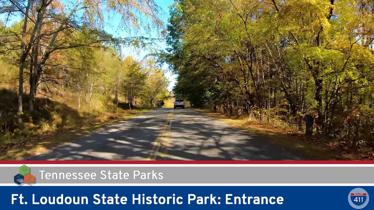
Take a peaceful 1-mile drive into Ft. Loudoun State Park in Vonore, Tennessee. Discover historical forts, lakeside views, forested trails, and a relaxing picnic area nestled on the shores of Tellico Lake.
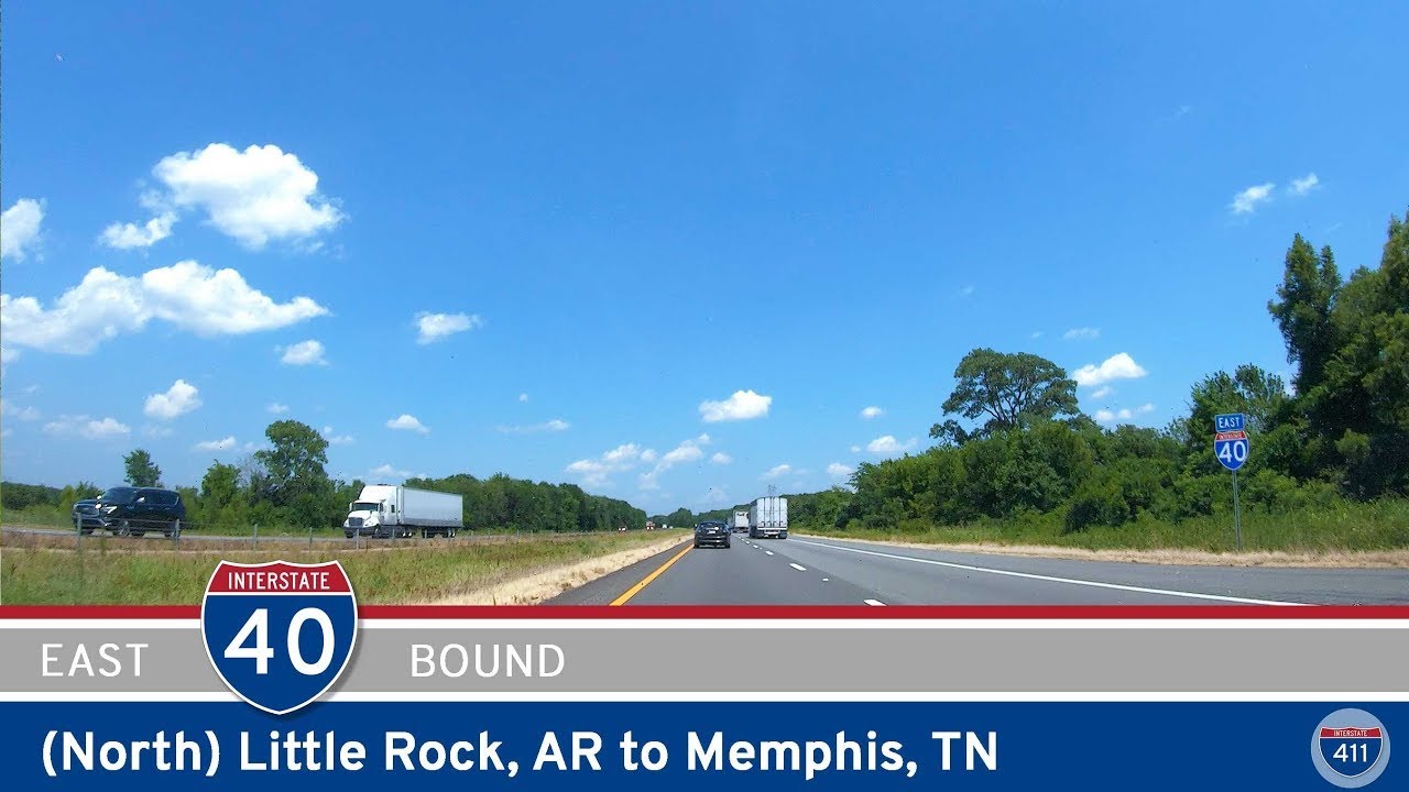
Cruise 131 miles along Interstate 40 from Little Rock to Memphis — pass through wooded countryside, open Delta farmlands, small towns like Lonoke and Brinkley, and cross the majestic Mississippi River into Tennessee.
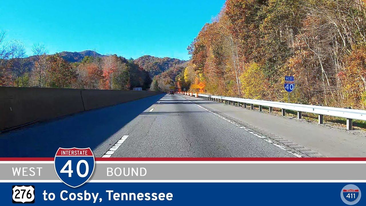
Cruise 28 miles west along Interstate 40 from U.S. Route 276 to Cosby, Tennessee. Experience breathtaking mountain views, the dramatic Pigeon River Gorge, historic tunnels, whitewater adventures in Hartford, and peaceful access to the Smokies at Cosby.
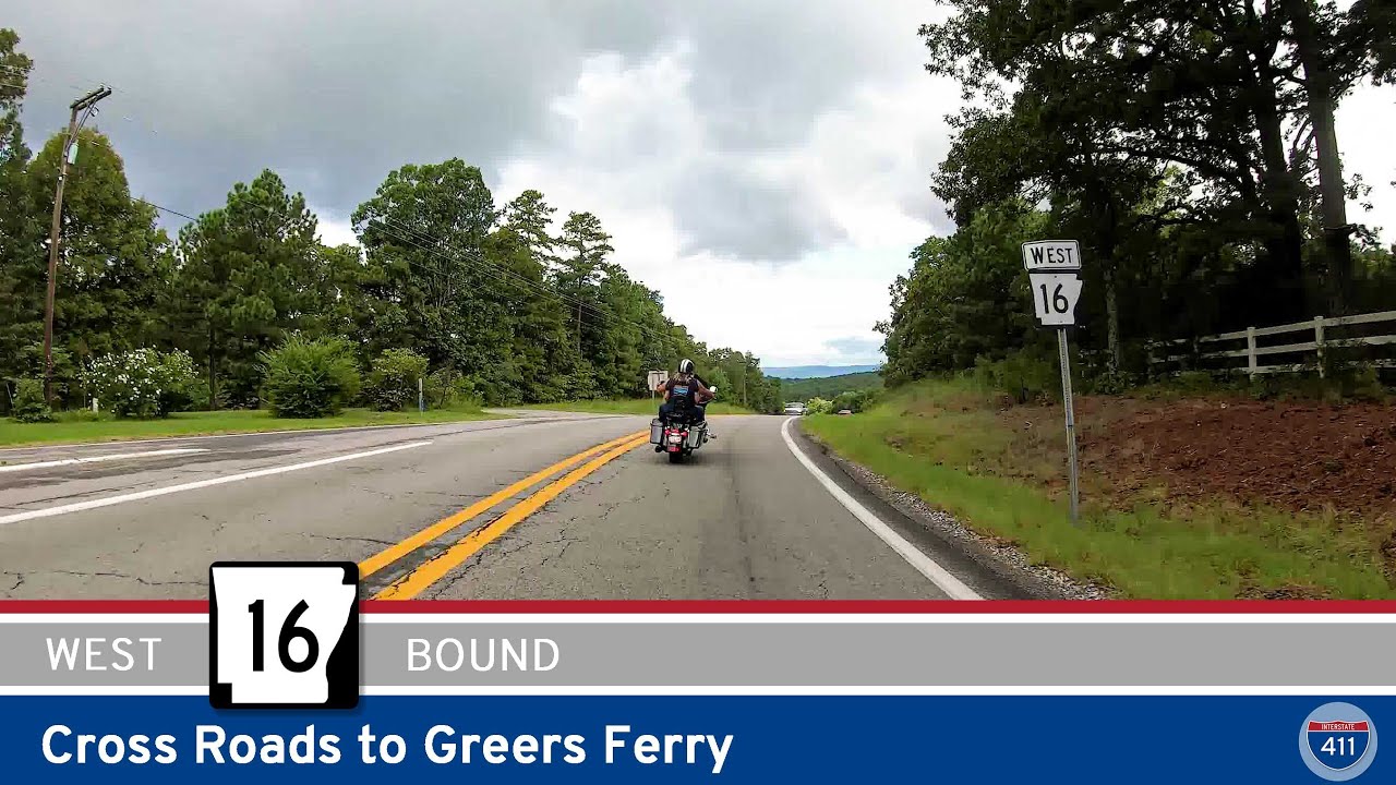
Experience the scenic drive along Arkansas Highway 16 from Cross Roads to Greers Ferry. This 9-mile route takes you through classic Ozark landscapes, across the picturesque Narrows bridge on Greers Ferry Lake, and into the heart of Arkansas’s outdoor recreation countr…
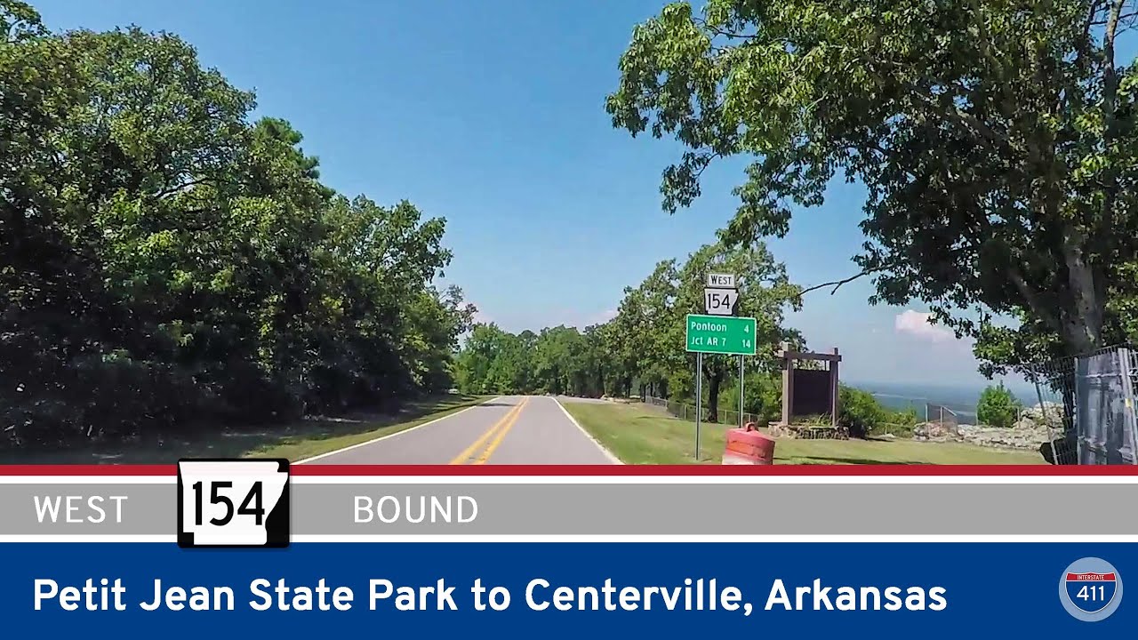
Experience the best of Arkansas backroads as we travel 15 miles along Highway 154 from Petit Jean State Park to Centerville. Enjoy mountain switchbacks, sweeping vistas, a riverside crossing, and the peaceful farmland of the Arkansas River Valley. Route highlights inclu…
![[Revisited] U.S. Highway 160 – Rueter to Forsyth – Missouri](https://mail.interstate411.us/wp-content/uploads/2025/06/x_qkmodnaq8maxresdefault.jpg)
Explore the scenic 21-mile drive along U.S. Highway 160 from Rueter to Forsyth, Missouri. This winding Ozarks route features forested hills, waterfront views, and classic small-town stops—perfect for anyone seeking authentic Missouri scenery and a peaceful road trip.
![[Special] Willow Beach Park: North Little Rock, Arkansas](https://mail.interstate411.us/wp-content/uploads/2025/06/qbm349wnimumaxresdefault.jpg)
Experience the natural beauty and easy access of Willow Beach Park in North Little Rock, Arkansas—a U.S. Army Corps of Engineers site offering fishing, boating, and peaceful riverfront recreation just minutes from the city.
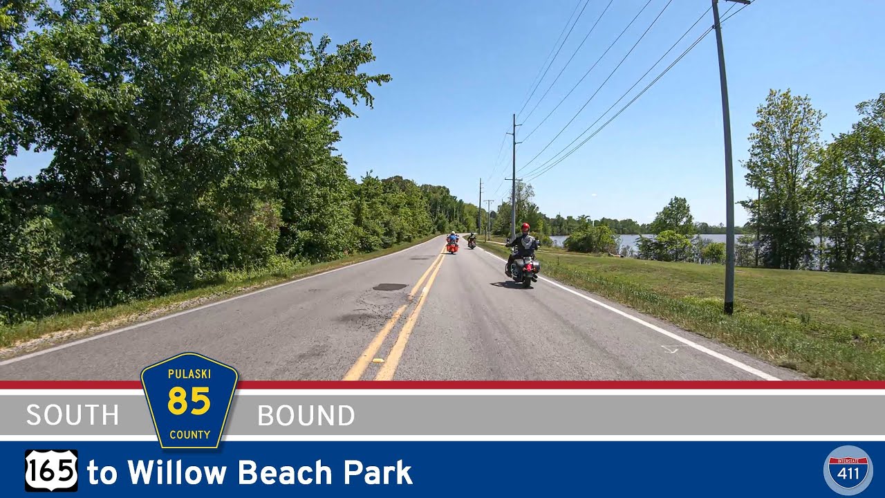
Enjoy a short and scenic drive down Pulaski County Rd 85—Col. Maynard Rd—from US-165 to Willow Beach Park in North Little Rock, Arkansas. This 2-mile stretch leads straight to the Arkansas River, passing through wooded wetlands and offering easy access to one of the…
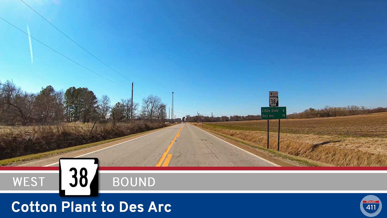
Experience a peaceful 15-mile drive along Arkansas Highway 38 from Cotton Plant to Des Arc, crossing the Cache and White Rivers through farmland, small Delta communities, and historic river landscapes. A classic eastern Arkansas route.
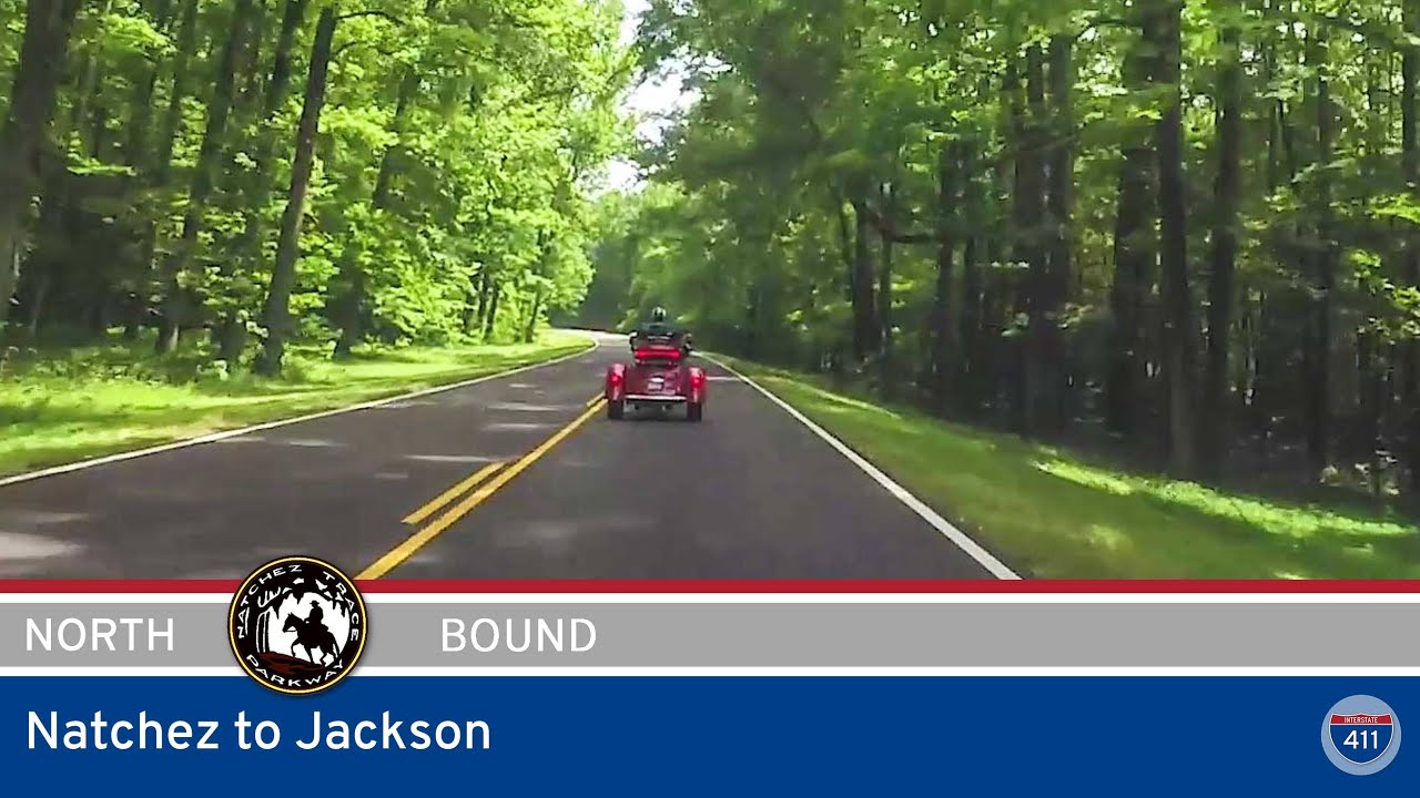
Experience a 90-mile drive along the Natchez Trace Parkway from Natchez to Jackson, Mississippi, exploring lush forests, ancient mounds, and historic sites. This scenic byway offers roadside stops, tranquil landscapes, and a deep dive into Southern history—perfect for…
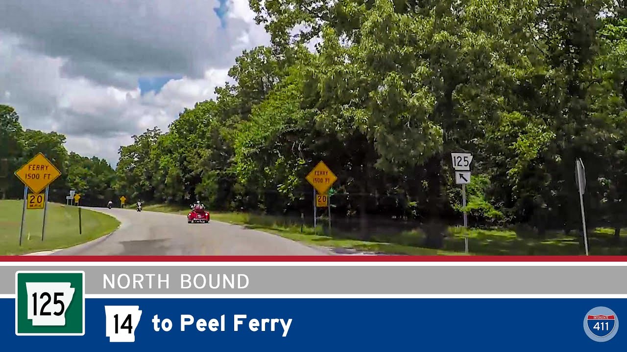
Travel 12 scenic miles along Arkansas Highway 125 from Highway 14 to the Peel Ferry on Bull Shoals Lake. Winding through forested hills and quiet communities, this tranquil drive ends at Arkansas’s last remaining highway ferry crossing.