🌾 Farmland

Drive past working farms, silos, and open agricultural land with the Farmland tag—capturing the rural fabric of the country.


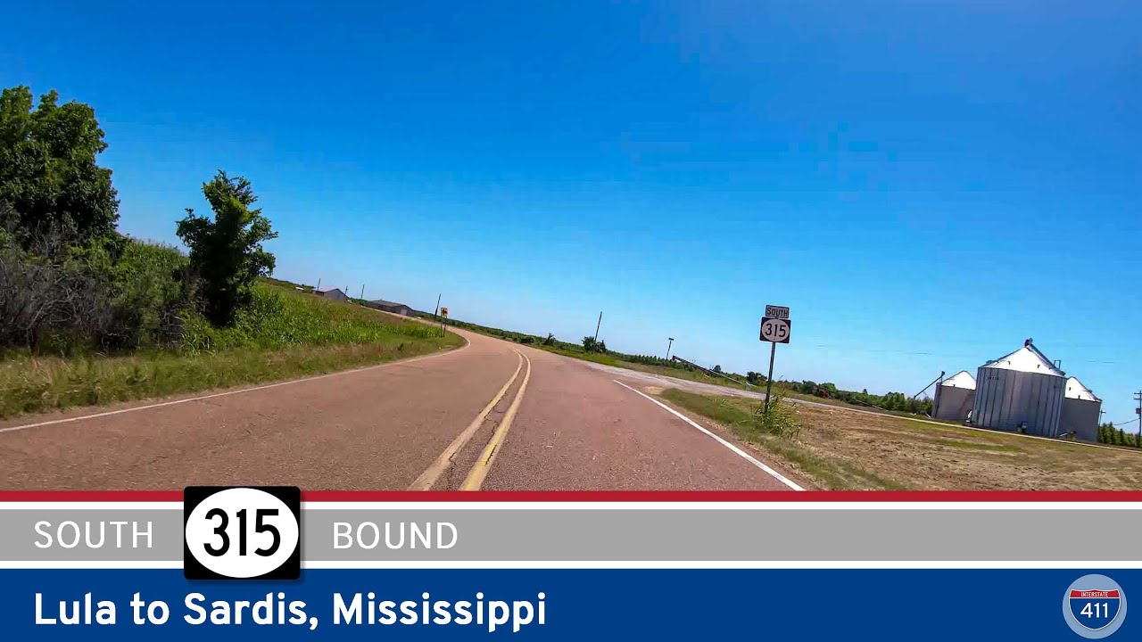
The 🌾 Farmland tag identifies routes that pass through active agricultural areas, where fields, silos, barns, and tractors are common sights. These roads often wind through rural communities and showcase the day-to-day life of America’s working landscapes—whether it’s rows of corn, wheat, soybeans, or pastureland dotted with livestock.

Travelers on farmland-tagged routes can expect a slower pace and a direct look at the country’s agricultural backbone. These drives frequently intersect with small towns, local markets, and seasonal roadside stands offering fresh produce or handmade goods.

Routes Tagged: 🌾 Farmland

Take a peaceful 17-mile drive along U.S. Route 231 from Pell City to Vincent, Alabama, following the west bank of the Coosa River through farmland, forests, and quiet rural communities. Discover a hidden gem of central Alabama with scenic views and a relaxing pace.

U.S. Route 231: Pell City to Vincent – Alabama

Take a peaceful 17-mile drive along U.S. Route 231 from Pell City to Vincent, Alabama, following the west bank of the Coosa River through farmland, forests, and quiet rural communities. Discover a hidden gem of central Alabama with scenic views and a relaxing pace.

Cruise 26 miles along Tennessee Route 55 from Manchester to McMinnville, passing through peaceful farmland, small towns like Morrison and Smartt, and ending in the scenic nursery capital of Tennessee.

Tennessee Route 55: Manchester to McMinnville

Cruise 26 miles along Tennessee Route 55 from Manchester to McMinnville, passing through peaceful farmland, small towns like Morrison and Smartt, and ending in the scenic nursery capital of Tennessee.

Mississippi Highway 315: Rich to Sardis

Mississippi Highway 315: Rich to Sardis

Travel Mississippi Highway 315 from Rich to Sardis and explore 34 miles of Delta farmland, small-town charm, and rolling hills. A quiet, scenic drive through the heart of northwestern Mississippi.

Drive 5 miles south on Arkansas Highway 9 from Morrilton to Oppelo, crossing the scenic Arkansas River and open farmland before reaching the junction with AR-154 near Petit Jean State Park.

Arkansas Highway 9: Morrilton to Oppelo

Drive 5 miles south on Arkansas Highway 9 from Morrilton to Oppelo, crossing the scenic Arkansas River and open farmland before reaching the junction with AR-154 near Petit Jean State Park.

Arkansas Highway 286: Saltillo to Conway

Arkansas Highway 286: Saltillo to Conway

Travel 6 miles west along Arkansas Highway 286 from Saltillo to Conway, passing through forested creek lands before entering the urban energy of Conway via Dave Ward Drive. From rural peace to city bustle in just minutes — see how this short route connects two distinc…

Arkansas Highway 285: Wooster to Martinville

Arkansas Highway 285: Wooster to Martinville

Take a scenic 10-mile drive along Arkansas Highway 285 from Wooster to Martinville, passing through Shady Grove, Twin Groves, and over Cadron Creek in this quiet Faulkner County route.

Arkansas Highway 25: Conway to Wooster

Arkansas Highway 25: Conway to Wooster

Cruise through central Arkansas on a scenic 6-mile stretch of Arkansas Highway 25 from Conway to Wooster. Pass by Beaverfork Lake and enjoy quiet countryside views as this short but vital route connects I-40 travelers to rural Faulkner County.

U.S. Route 64: Conway to Russellville – Arkansas

U.S. Route 64: Conway to Russellville – Arkansas

Cruise west from Conway to Russellville along U.S. Route 64, a 46-mile drive through small towns, farmlands, and scenic stretches of Arkansas River Valley. A charming alternative to I-40 packed with local flavor.

U.S. Route 412: Paragould – Arkansas

U.S. Route 412: Paragould – Arkansas

Follow U.S. Route 412 for 11 miles through Paragould, Arkansas, as it skirts the southern edge of town and connects key junctions with US-49, AR-69, and AR-358 before continuing west toward Walnut Ridge.