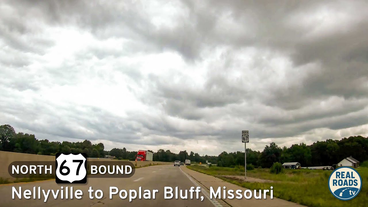
Drive northbound on U.S. Route 67 from Neelyville to Poplar Bluff, Missouri. This 16-mile segment features a two-lane highway alongside I-57 construction, a four-lane transition at U.S. 160, and a major directional split with U.S. Route 60.
The 🛑 Bypass tag applies to highway segments that intentionally route traffic around towns, city centers, or congested areas. These alignments are designed to streamline through-traffic, reduce urban congestion, and improve travel times—often resulting in newer, wider, and faster-moving roads located on the outskirts of developed areas.
While efficient, bypass routes may skip scenic or historic locations that were part of the original highway alignment. As a result, travelers looking for charm or cultural context might miss out unless they choose to explore the older path through town.
Drive northbound on U.S. Route 67 from Neelyville to Poplar Bluff, Missouri. This 16-mile segment features a two-lane highway alongside I-57 construction, a four-lane transition at U.S. 160, and a major directional split with U.S. Route 60.
Take a short drive down Branson’s Yellow Route along James F. Epps Road. From Shepherd of the Hills Expressway to Roark Valley Road, this 1.2-mile connector passes schools, shopping, Stockstill Park, and Roark Creek—capturing both the community and scenic side of th…
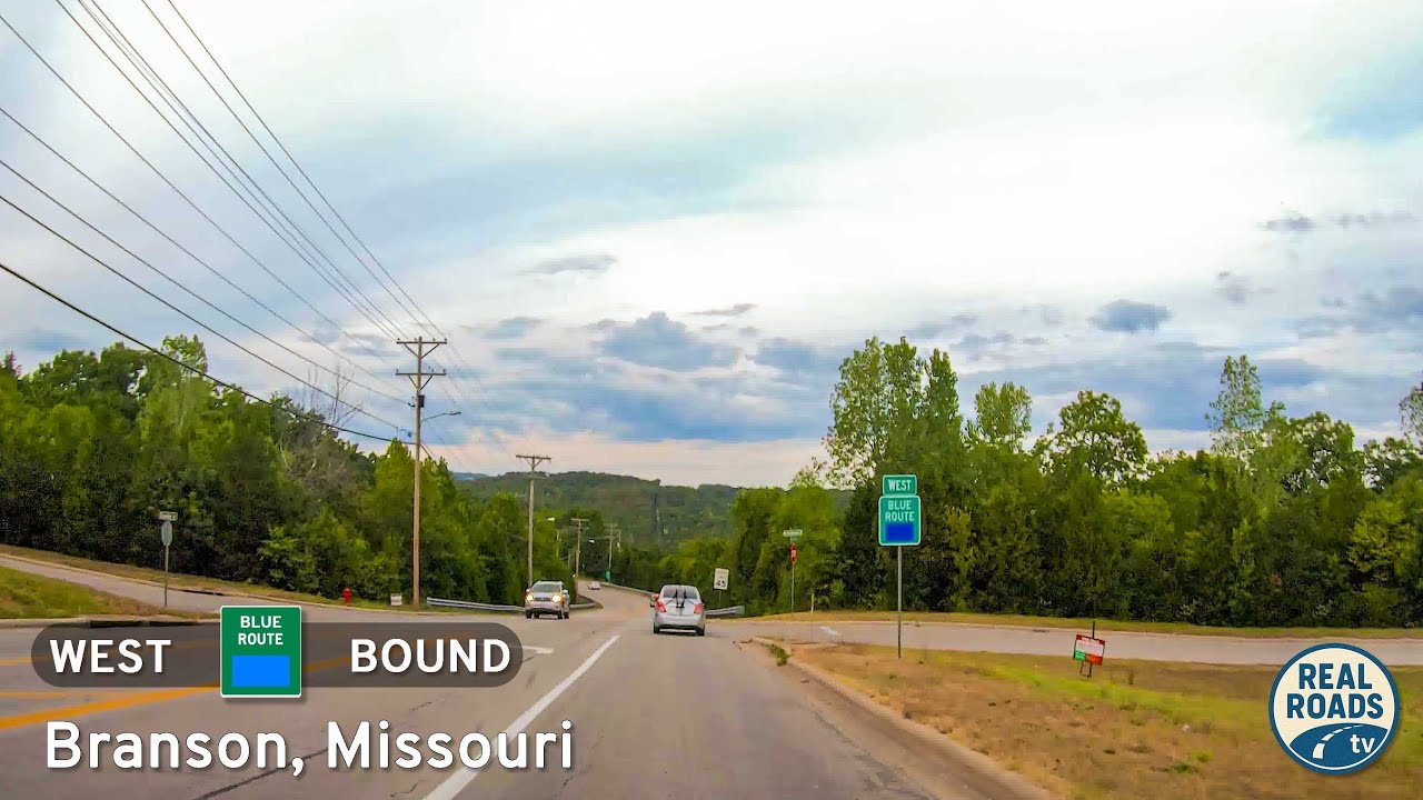
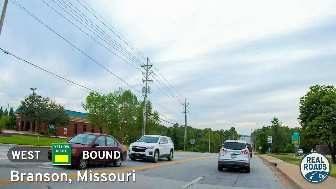
Explore Branson’s 3.5-mile Blue Route, a quick bypass from Roark Valley Road to Gretna Road that blends Ozark scenery with easy access to theaters, shops, and attractions—all without the congestion of 76 Country Boulevard.
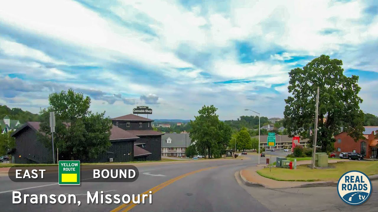
Explore Branson’s Yellow Route — a three-mile drive from Green Mountain Road to Fall Creek Road. This connector bypasses the Strip, passing hotels, mini-golf, condos, neighborhoods, and wooded Ozark hills.
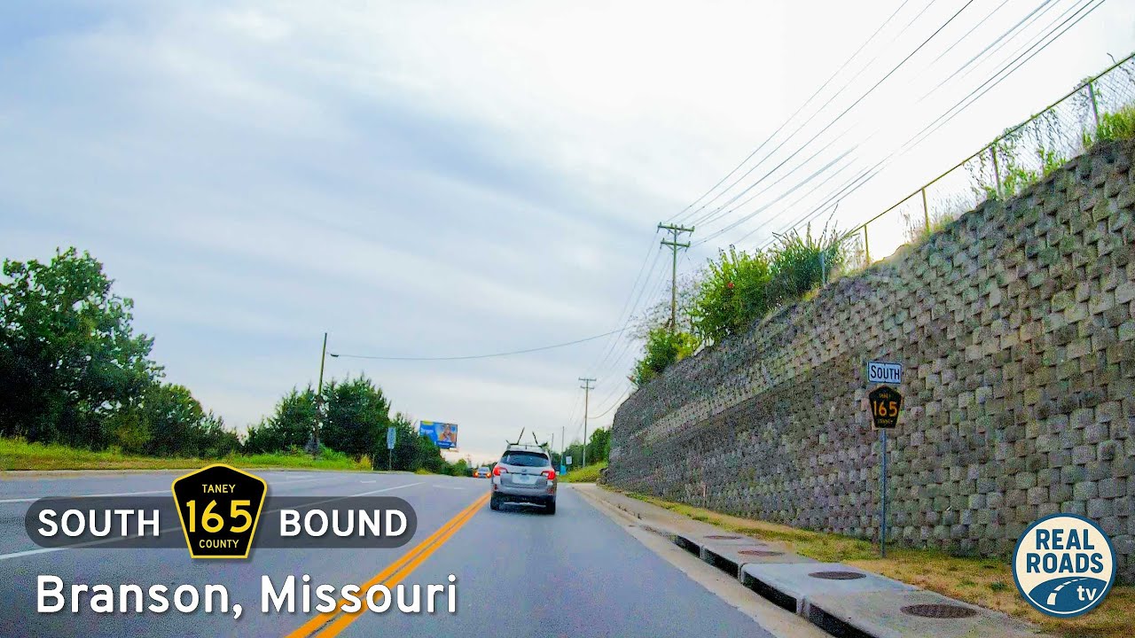
Take a drive along Taney County Route 165 in Branson, Missouri, a 5.5-mile tour through the city’s Red, Blue, and Yellow Routes. From the Shepherd of the Hills Expressway to Green Mountain Drive, this connector highlights Branson’s clever bypass network around the S…
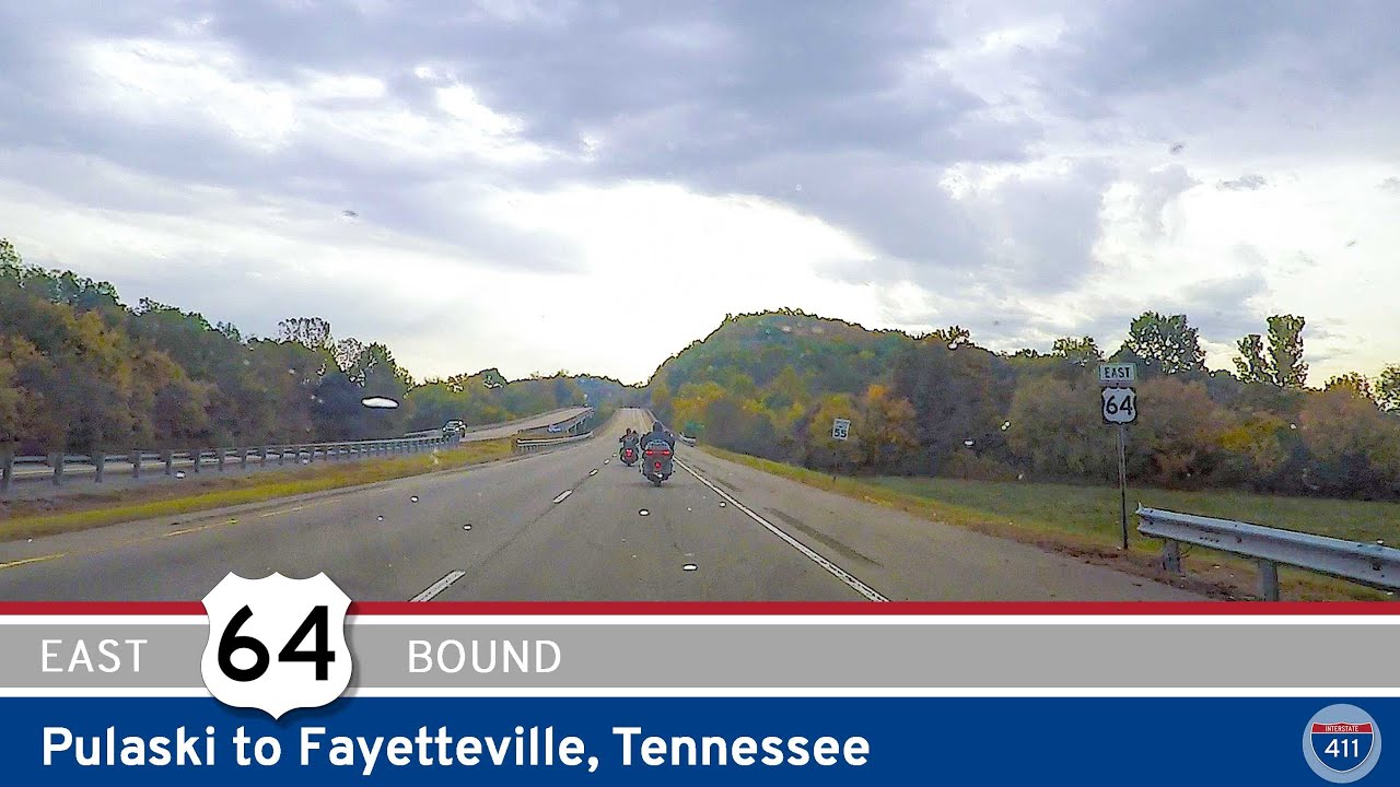
Explore U.S. Route 64 from Pulaski to Fayetteville, Tennessee — a 20-mile drive through Giles and Lincoln Counties that blends farmland, rolling hills, and a modern bypass around Fayetteville’s historic core.
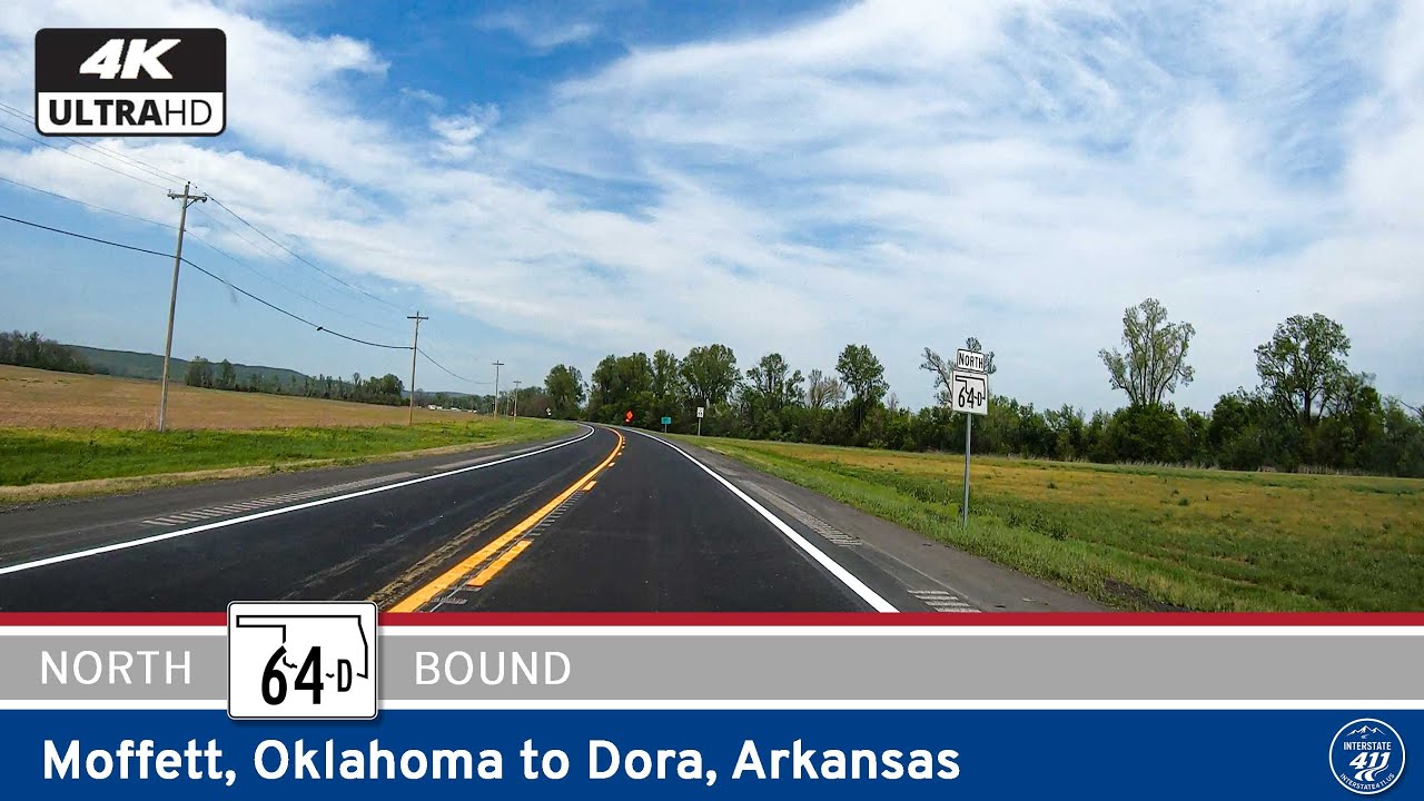
Explore Oklahoma Highway 64D from Moffett to Dora—a short but crucial four-mile route connecting U.S. 64 to I-40 through the rural Arkansas River Valley. See how this quiet connector links Oklahoma and Arkansas travel.
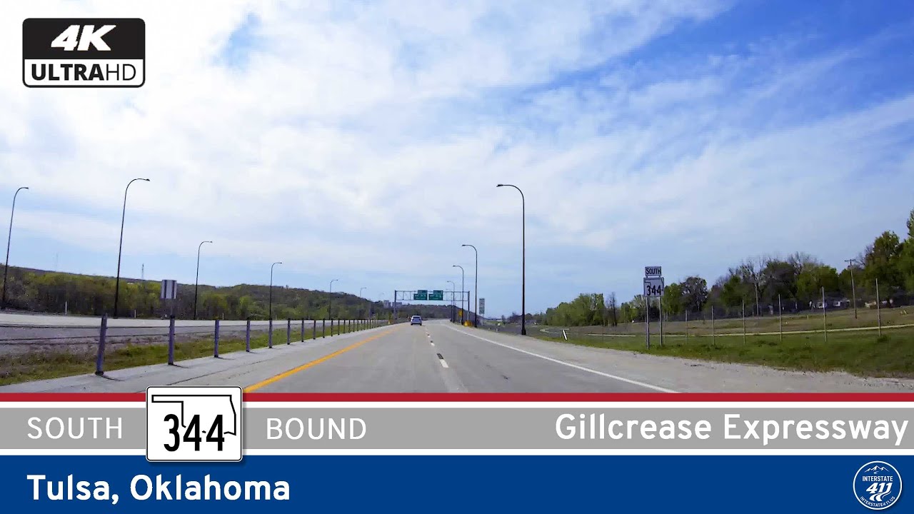
Take a scenic drive along Oklahoma Highway 344—the Gilcrease Expressway in Tulsa. Discover this short but vital bypass linking U.S. 412/64 with Interstate 44, offering smooth travel, serene landscapes, and strategic connectivity on Tulsa’s northwest side.
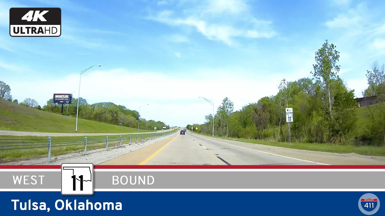
Cruise westbound on Oklahoma Highway 11—Tulsa’s Gillcrease Expressway—for a smooth eight-mile bypass that links I-244 with the Tisdale Parkway, offering quick airport access and an efficient detour through the city’s north side.
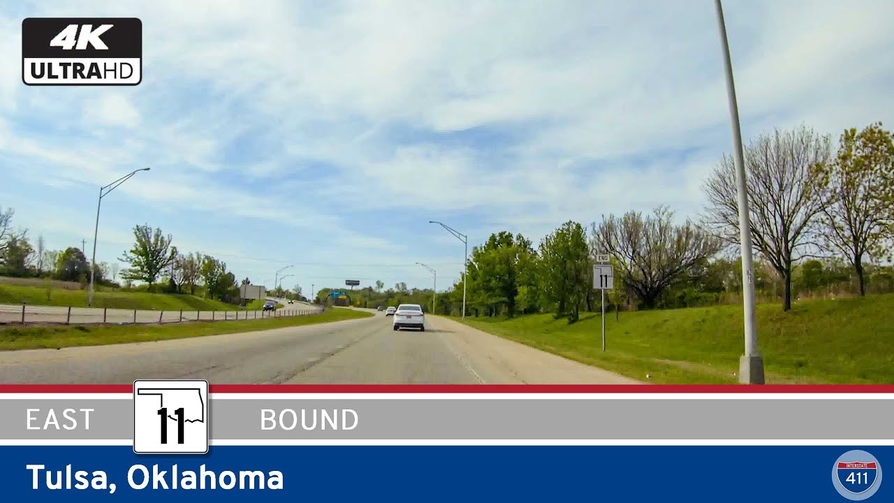
Experience Oklahoma Highway 11 eastbound through Tulsa—a fast, efficient route linking U.S. 75 and I-244, with direct access to Tulsa International Airport. See how this modern urban corridor keeps the city connected, from neighborhood entrances to the heart of Tulsa�…
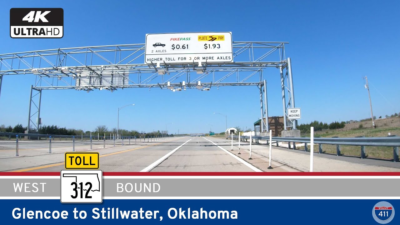
Join us as we explore a short but important connector route in central Oklahoma—Oklahoma Highway 312, stretching just under 9 miles from Glencoe to the northern outskirts of Stillwater. Though compact in distance, this stretch of highway serves as a modern, limited-ac…
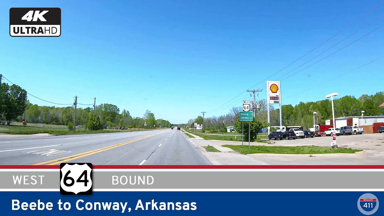
Drive 33 miles along U.S. Highway 64 from Beebe to Conway, Arkansas, through scenic farmland, small towns like El Paso and Vilonia, and into the growing urban hub of Conway. Experience this diverse slice of central Arkansas in our latest road video.