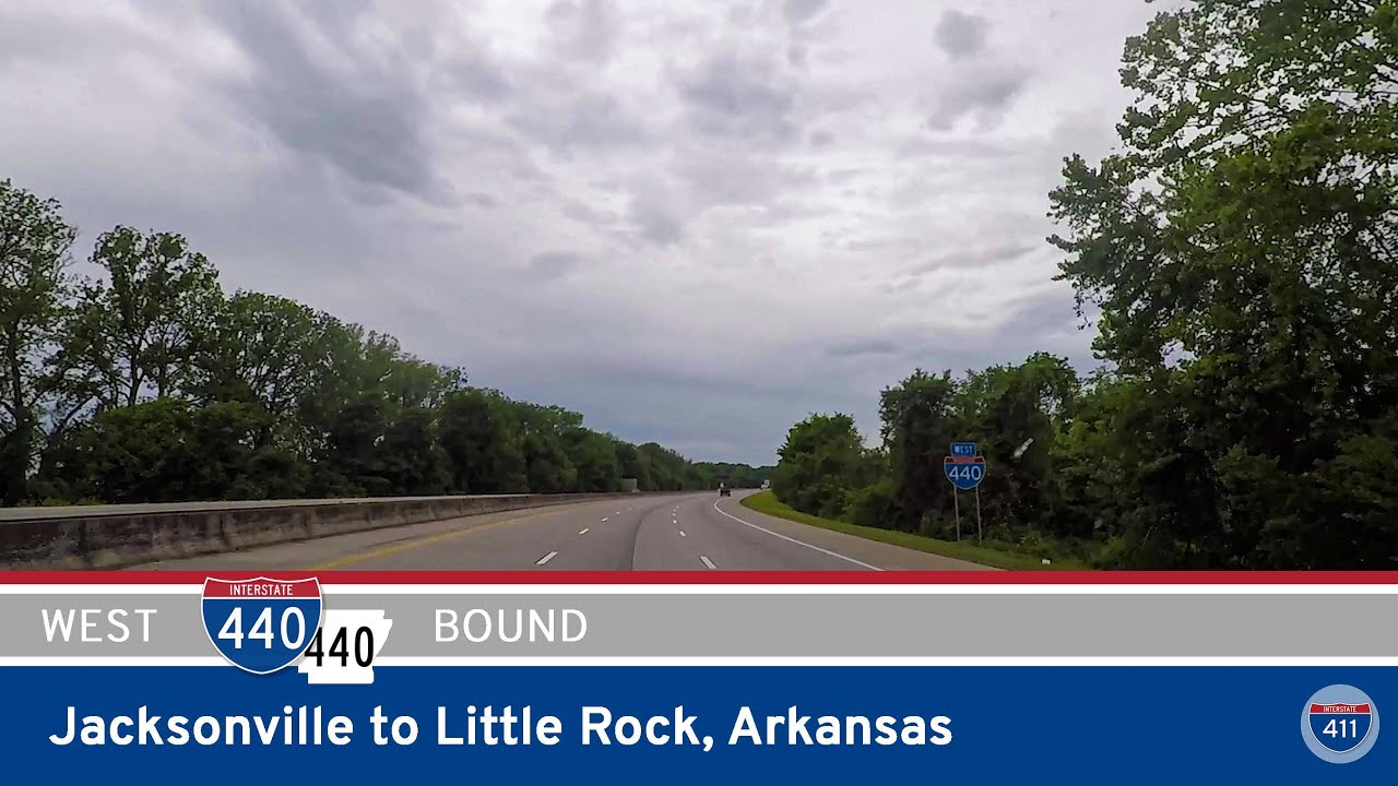
Take a drive along Interstate 440 and AR-440 from Jacksonville to Little Rock, Arkansas. This 14-mile urban bypass connects I-57 and I-30, offering scenic views of the Arkansas River and access to Clinton National Airport.
The United States Interstate Highway System is the backbone of the nation’s road transportation network, connecting cities, states, and regions across more than 46,000 miles of road. Built for speed, efficiency, and mobility, the Interstate system revolutionized travel and commerce following its inception in 1956 under the Federal Aid Highway Act. These highways are designed for long-distance travel, offering controlled-access roads with high-speed limits and minimal interruptions—ideal for both roadtrippers and freight haulers alike.
At RealRoads.tv, our focus is on capturing the real-world driving experience along these major routes. From scenic segments through the Appalachians to urban sprawl near major cities, we document what it’s like to drive the length of interstates like I-10, I-70, or I-95. Whether it’s a full-length drive or a short but significant connector, our videos showcase the personality of each highway as it winds through America’s landscapes.
Our collection spans dozens of Interstate corridors with footage across a majority of the 48 contiguous states. You’ll find both mainline interstates (one- and two-digit numbers) and auxiliary routes (three-digit spur and loop routes), each categorized and tagged by location, route, and terrain. These are not textbook tours—they’re windshield-level views into the actual experience of America’s highways.
Take a drive along Interstate 440 and AR-440 from Jacksonville to Little Rock, Arkansas. This 14-mile urban bypass connects I-57 and I-30, offering scenic views of the Arkansas River and access to Clinton National Airport.
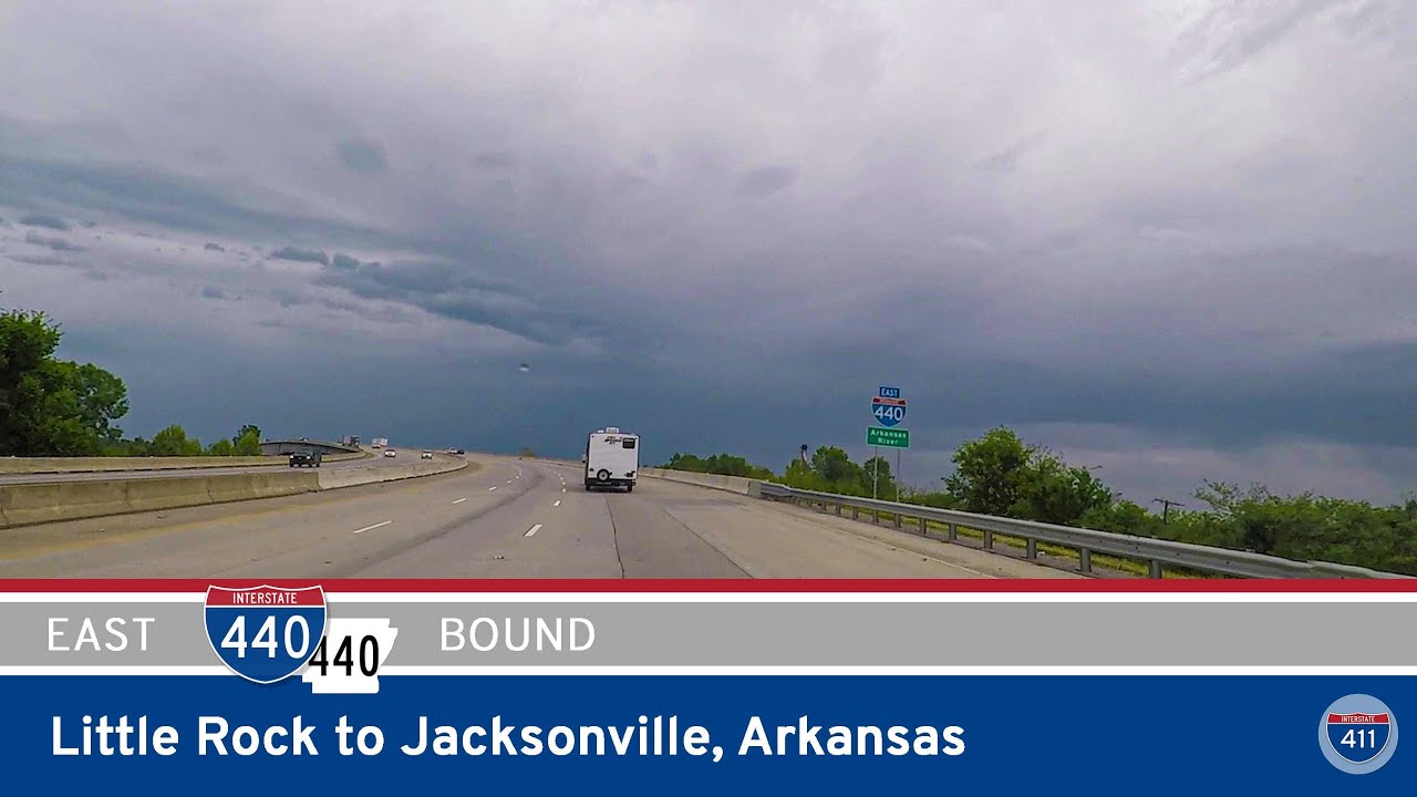
Travel 14 miles around the eastern side of Little Rock via Interstate 440 and Arkansas Highway 440, from the I-30/I-530 interchange in Little Rock to Future I-57 in Jacksonville. This beltway route connects the airport, North Little Rock, and key suburban areas while pr…
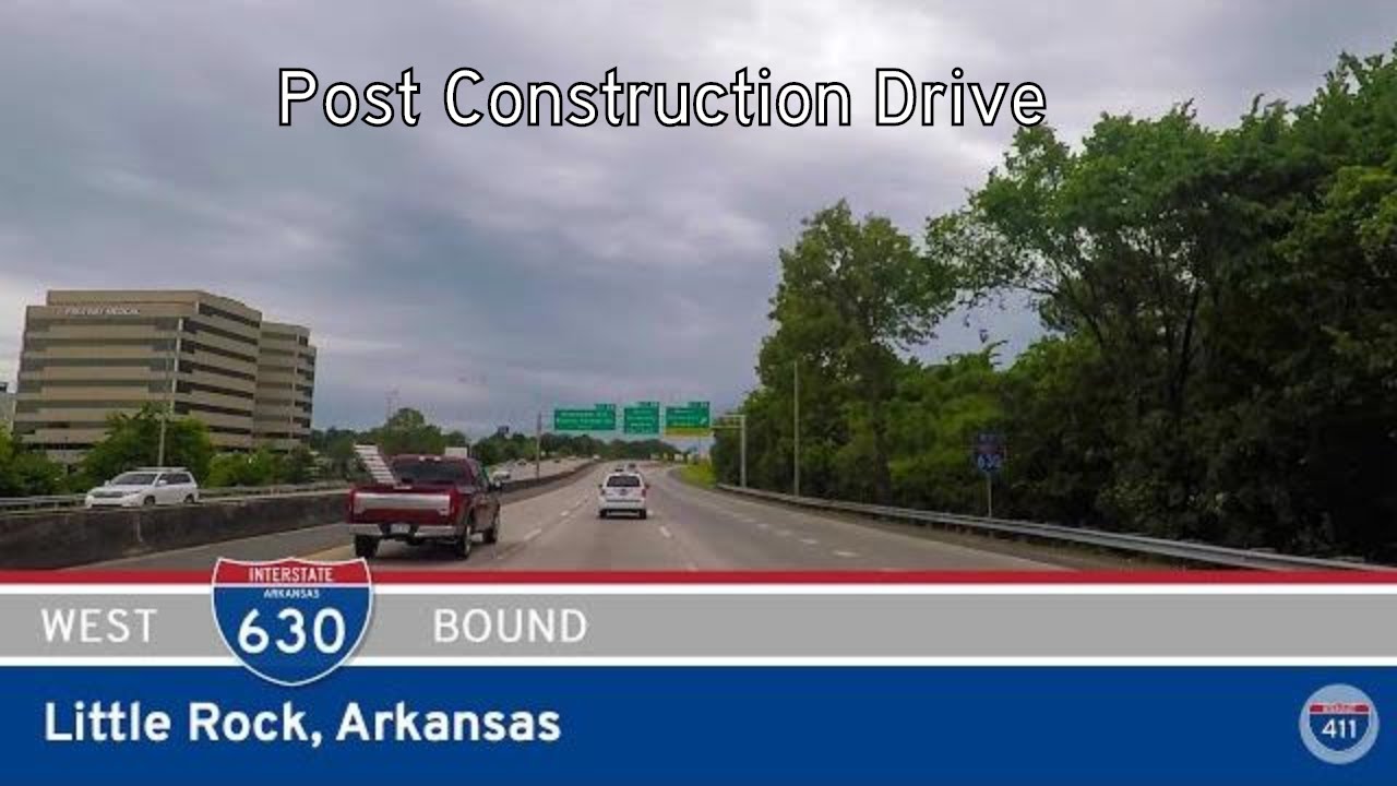
Cruise westbound along Interstate 630 through downtown and midtown Little Rock, Arkansas, covering 8 miles of urban freeway from I-30 to I-430. See hospitals, the zoo, and major interchanges along this key city route.
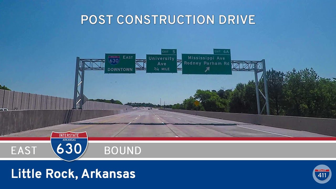
Take a full 8-mile drive on Interstate 630 Eastbound through Little Rock, Arkansas—from the Big Rock Interchange to the I-30 junction downtown. This major urban corridor connects hospitals, universities, shopping districts, and the heart of the city.
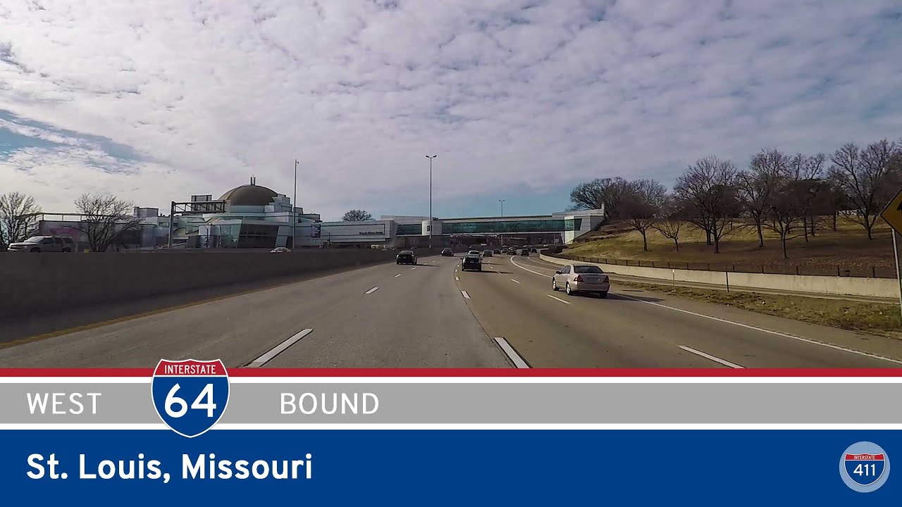
Take a 5-mile drive westbound on Interstate 64 through St. Louis, Missouri — from downtown’s trench highway to the cultural corridor of Forest Park and out to Brentwood Boulevard. Explore this vital urban stretch packed with landmarks, history, and commuter routes.
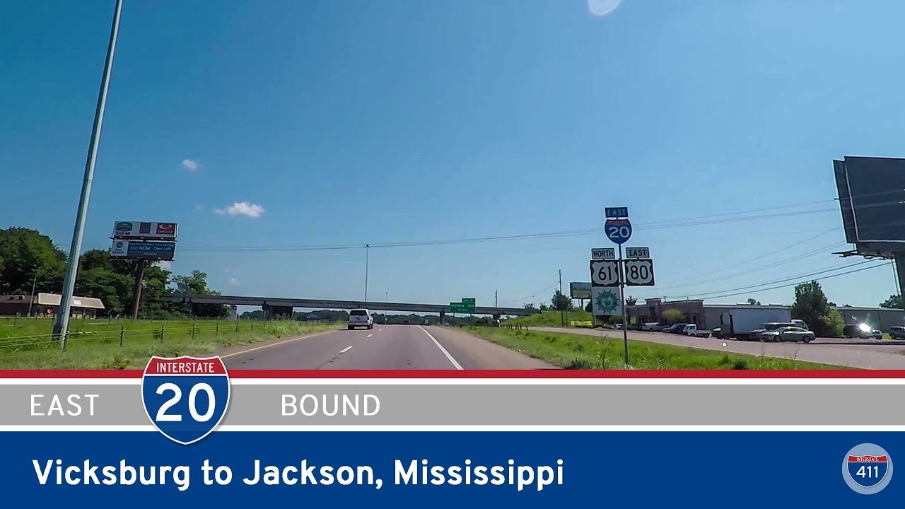
Cruise eastbound on Interstate 20 from Vicksburg to Jackson, Mississippi, covering 46 miles of river crossings, rolling hills, and historical connections. From the Mississippi River bridge to the heart of the capital city, this route blends scenic landscapes with deep S…
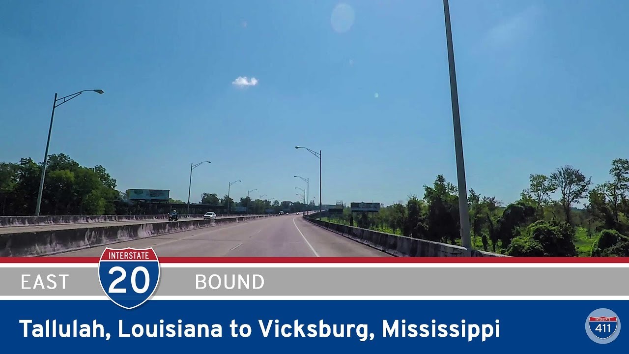
Cruise 19 miles east along I-20 from Tallulah, Louisiana to Vicksburg, Mississippi, crossing the agricultural flatlands of the Mississippi Delta and the iconic Mississippi River into a city rich with Civil War history.
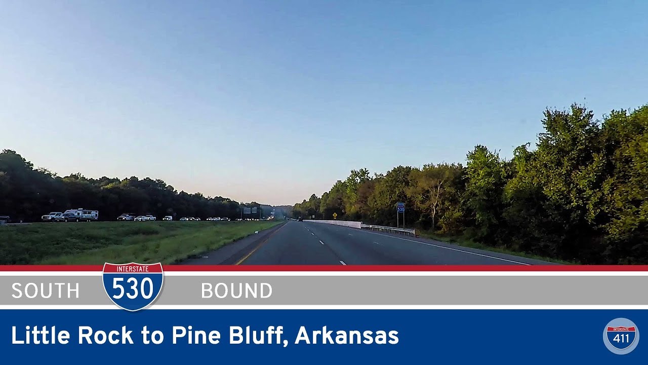
Travel 46 miles south on Interstate 530 from Little Rock to Pine Bluff, Arkansas. This former U.S. 65 alignment serves as a key connector and bypass through forests, farmland, and small towns in central Arkansas.
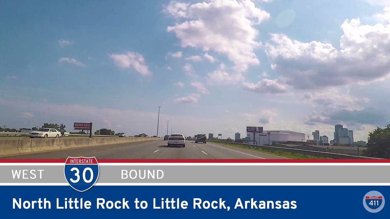
Take a drive on the former layout of Interstate 30 through North Little Rock and Little Rock, Arkansas — captured before the major reconstruction projects transformed the corridor. See the old interchanges, bridges, and junctions as they were.
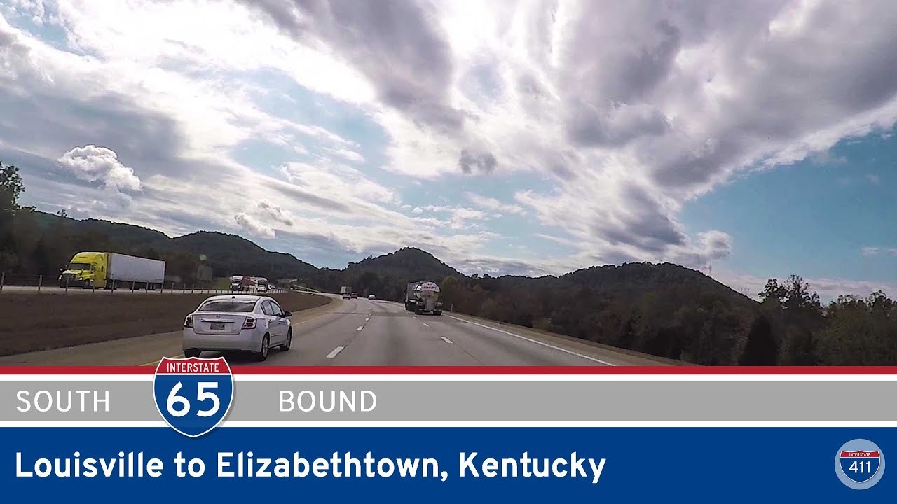
Travel 45 miles along Interstate 65 from downtown Louisville to Elizabethtown, Kentucky, passing city skylines, airport interchanges, Fort Knox access points, and rolling rural hills on this vital central Kentucky route.
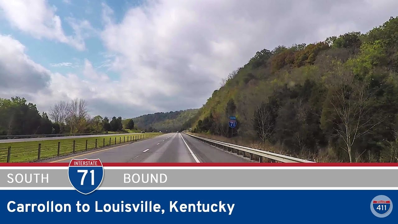
Follow Interstate 71 southbound from Carrollton to downtown Louisville, Kentucky, on a 46-mile drive through forested hills, small towns, and growing suburbs before entering the heart of the city at I-65. This scenic and varied route blends rural charm with urban energy…
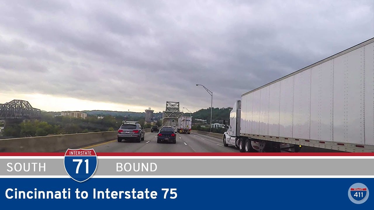
Drive 29 miles along Interstate 71 from downtown Cincinnati across the Brent Spence Bridge into northern Kentucky. Pass through Covington, Florence, and Erlanger before meeting I-75 near Walton as the landscape shifts from urban to rural.