Travel 46 miles south on Interstate 530 from Little Rock to Pine Bluff, Arkansas. This former U.S. 65 alignment serves as a key connector and bypass through forests, farmland, and small towns in central Arkansas.
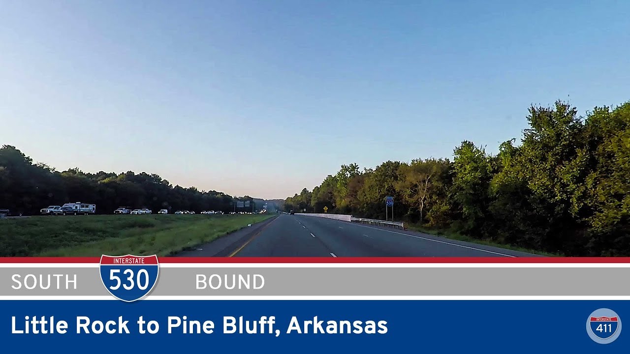
Interstate 530 is a spur route of I-30 located entirely within the state of Arkansas. Stretching approximately 46 miles, it connects the capital city of Little Rock to the southeastern city of Pine Bluff, offering a critical north-south route through central Arkansas. I-530 serves both as a commuter corridor and a freight route. The northern terminus of I-530 is at a major interchange with I-30 and I-440 in Little Rock, while the southern end currently terminates in southern Pine Bluff, though future extensions are planned to eventually connect with future I-69.
The drive along I-530 provides a transition from the urban environment of Little Rock into the forested landscapes and delta lowlands characteristic of southeastern Arkansas. Along the way, travelers pass through key junctions including U.S. 167 near Hensley and U.S. 79 in Pine Bluff, offering access to local communities and business hubs. The corridor is also significant for providing hurricane evacuation relief and improving regional connectivity.
Efforts have been ongoing to extend I-530 southward as part of the I-69 Connector project, which would improve access to the proposed interstate corridor that will span from Mexico to Michigan. Several segments of this extension, designated as Arkansas Highway 530, have already been constructed as two-lane roads with right-of-way for future interstate upgrades.
Travel 46 miles south on Interstate 530 from Little Rock to Pine Bluff, Arkansas. This former U.S. 65 alignment serves as a key connector and bypass through forests, farmland, and small towns in central Arkansas.
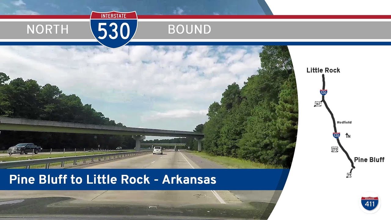
Travel 42 miles north on Interstate 530 from Pine Bluff to Little Rock, Arkansas. This scenic and essential stretch of I-530/U.S. 65 links the piney woods of Jefferson County to the heart of the state capital, passing through White Hall, Redfield, and the Granite Mounta…