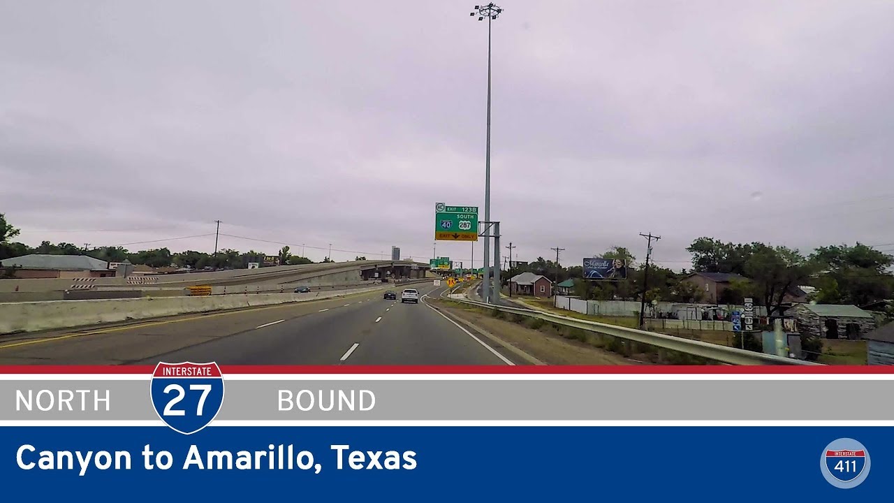
Travel 13 miles through the Texas Panhandle on Interstate 27 from Canyon to Amarillo. Explore how this northbound route connects farmland, suburbs, and the heart of Amarillo just south of I-40.
Interstate 27 is a relatively short north–south highway located entirely within the state of Texas. Spanning approximately 124 miles, it connects the cities of Lubbock and Amarillo, serving as a crucial transportation corridor for the Texas Panhandle region. Although modest in length compared to other interstates, I-27 plays an important role in linking rural communities to larger urban centers and facilitating the movement of goods, particularly agricultural products.
The route begins in the south at an interchange with US-87 in Lubbock and heads northward through gently rolling plains and small towns before reaching its terminus at Interstate 40 in Amarillo. Along the way, I-27 passes through key areas such as Plainview and Tulia, offering access to West Texas’s heartland. The highway is co-signed with US-87 for much of its length, reinforcing its importance as part of a larger north–south corridor.
In recent years, there has been increasing discussion about extending I-27 as part of the Ports-to-Plains Corridor, a federally designated trade route intended to improve freight mobility from Mexico to Canada. Proposed extensions would extend I-27 both north of Amarillo and south of Lubbock, potentially transforming it into a major freight route and enhancing economic development opportunities across the central United States.
Travel 13 miles through the Texas Panhandle on Interstate 27 from Canyon to Amarillo. Explore how this northbound route connects farmland, suburbs, and the heart of Amarillo just south of I-40.