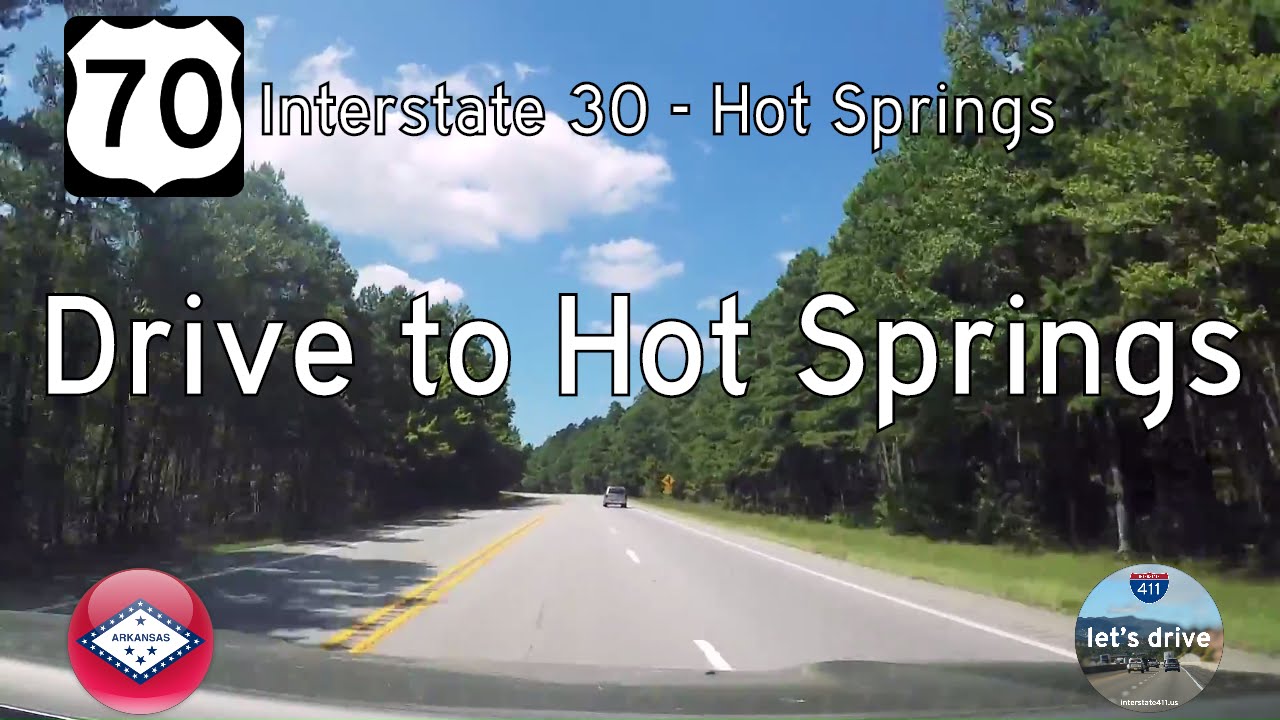
Take a smooth cruise along the southern edge of one of Arkansas’s most unique towns as we follow the Dr. Martin Luther King Jr. Expressway — better known to locals as the Bypass — eastbound through Hot Springs. This 12-mile segment of U.S. Route 70 threads a modern expressway through a town famous for bathhouses, baseball legends, and the mysterious hush of thermal springs, offering a high-speed bypass to the meandering streets of downtown. But while the scenery flashes by a bit quicker here, the route still tells a story — one of infrastructure designed to gently skirt a National Park without disrupting its charm.
Our journey begins on the Dr. Martin Luther King Jr. Expressway, which at this point carries U.S. Route 270 eastbound as it skirts the western edge of Hot Springs. At Exit 2, U.S. Route 70 merges onto the expressway, beginning a concurrency that defines most of this eastbound route. From here, U.S. 70 and U.S. 270 run side by side across the city’s southern edge, bypassing the tight curves and traffic of the original highway through town. The freeway’s interchanges offer access to key routes like Central Avenue and Carpenter Dam Road, while its limited-access design ensures fast, uninterrupted travel through Hot Springs — a stark contrast to the winding downtown roads the bypass was built to relieve.
This stretch — from Exit 2 to Exit 9 — functions as Hot Springs’ transportation spine, a corridor lined with subdivisions, retail zones, and the wooded hills that define the Ouachita foothills. The expressway skirts south of Oaklawn Racing Casino Resort, bypassing both the historic track and the heavily trafficked Central Avenue corridor. Interchanges like Central Avenue (Exit 5) and Carpenter Dam Road (Exit 6) serve as lifelines into the older neighborhoods of Hot Springs and provide quick access to Lake Hamilton and Hot Springs National Park. This bypass wasn’t just a traffic solution — it was a product of decades of local advocacy, eventually realized in phases during the late 20th century to meet the needs of a growing community surrounded by protected federal lands.
At Exit 9, U.S. 270 splits away to head southeast toward Malvern, leaving us once again on U.S. 70 alone. From here, the expressway climbs slightly in elevation as it prepares to descend toward the eastern city limits. These last few miles carry us through wooded areas of undeveloped parcels — a transition zone between city and country. This portion of U.S. 70, sometimes still referred to as the “new” Little Rock Highway, was built to bypass the original alignment along Park Avenue and the old highway corridor through downtown. By the time we reach the final interchange, the expressway’s lanes narrow and terminate into the standard surface highway configuration, resuming its rural identity as it presses onward toward Benton and Little Rock.
There’s a quiet efficiency to this drive. It’s not a route lined with dramatic vistas or towering bluffs — though the Ouachita Mountains are never far from view — but it serves a different kind of beauty: functional, local, and resilient. This is a road that threads between eras: modern interchanges and exit signage contrasting with the deep historic resonance of a spa town built around healing waters and gangland secrets. The expressway tells us that even a place like Hot Springs — with its timeless allure — must make room for the forward momentum of the highway age.
🗺️ Route Map

0 Comments