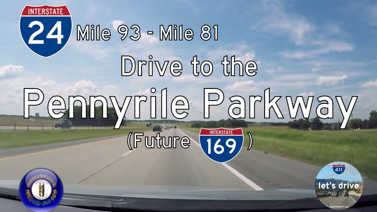
Take a scenic ride through the rolling farmland and wooded hills of western Kentucky as we follow a lesser-known stretch of freeway, now designated as Interstate 169, from Nortonville to Hopkinsville. This 34-mile journey along the former Pennyrile Parkway carries us through peaceful countryside, connecting two classic Kentucky communities while offering glimpses of both natural beauty and regional history.
We begin our drive just south of Madisonville, merging onto the parkway from the interchange with Interstate 69. When this footage was recorded, the highway was still known as the Pennyrile Parkway—an important corridor built in the 1960s as part of Kentucky’s innovative toll parkway system. While tolls have long been removed and the route has since been upgraded to full interstate status as I-169, the name “Pennyrile” lingers in local memory, referencing the Pennyroyal Plateau that defines this area of Kentucky. As we accelerate southward, we pass through a landscape of open fields dotted with farmhouses, interspersed with dense tree lines that border the highway like natural sound walls.
The miles tick by quickly on this smooth, lightly traveled freeway. There’s a rhythmic rise and fall to the road as we cruise through the soft hills characteristic of western Kentucky’s Pennyroyal Region. Grain silos occasionally break the horizon, a reminder of the agricultural heartbeat that drives much of the local economy. Just after the halfway point, we cross over Kentucky Route 800 near the small community of Crofton, though you’d scarcely notice from the freeway—this route stays mostly rural, bypassing the smaller towns entirely in favor of efficiency. Traffic remains light, with the occasional semi-truck or family vehicle sharing the road. The sense of openness is only heightened by the absence of large urban areas until we reach the outskirts of Hopkinsville.
Around mile 9, a brief camera mishap leaves a gap in our footage, but after a quick roadside fix, we rejoin the journey at exit 8, approaching the fringes of Hopkinsville. Here the surroundings gradually shift, with more commercial development appearing alongside the highway. Yet, Hopkinsville itself remains a mid-sized town with deep agricultural and military roots. Known as the home of Fort Campbell nearby, Hopkinsville serves as a regional hub for western Kentucky and northern Tennessee. We close out our drive just south of the city at Interstate 24, where I-169 now terminates, seamlessly connecting to a broader network of interstate travel.
Reflecting on this drive, it’s clear why the Pennyrile Parkway—now Interstate 169—was and remains a vital corridor. It may lack the tourist fanfare of some routes, but it offers a peaceful, efficient, and beautifully straightforward drive through the Kentucky countryside. It’s a window into rural life in western Kentucky, blending modern infrastructure with timeless farmland landscapes, making it a pleasant, if understated, stretch of road for anyone passing through.
🎵 Additional Music:
Sunrise A by Kevin MacLeod is licensed under a Creative Commons Attribution license (https://creativecommons.org/licenses/by/4.0/)
Source: http://incompetech.com/music/royalty-free/index.html?Artist: http://incompetech.com/
Marathon Man and Pioneers by Audionautix is licensed under a Creative Commons Attribution license (https://creativecommons.org/licenses/by/4.0/)
Artist: http://audionautix.com/
🗺️ Route Map
0 Comments