Let’s head out on a drive along one of central Arkansas’s more relaxing and scenic routes: Arkansas Highway 10, starting from the rural outpost of Williams Junction and rolling east all the way into the western edge of Little Rock. This 19-mile stretch is a nice blend of wooded river country, glimpses of water views, and a gradual re-entry into suburban life as we near the state’s capital city.
We begin our journey where AR-9 and AR-10 meet in the small crossroads community known locally as Williams Junction, or Harmony by some locals, tucked into eastern Perry County. From here, Highway 10 quickly settles into a pleasant rhythm as it shadows the course of the Maumelle River. This part of the drive feels remote, shaded by thick trees and punctuated by open clearings that hint at how close we’re running to the river’s meandering flow just out of view. A few miles along, we cross over into Pulaski County — a subtle change that marks our approach toward Little Rock’s outskirts.
Not long after crossing the county line, we reach one of this route’s highlights: Lake Maumelle. This large reservoir is a major water supply for the Little Rock metro area and also a favorite spot for weekend hikers and anglers. Just before reaching the lake, we roll past the intersection with Arkansas Highway 113 — a handy connector if you’re bound for Bigelow or back north toward the Perry County hills. At the lake’s edge, Highway 10 swings south to cross a slim finger of the water on a narrow causeway bridge. It’s worth a quick pause here if traffic allows; the view back across the water, framed by forested banks, is one of the prettier spots on this side of Pulaski County.
Once we’re across Lake Maumelle, the road sweeps east again and hugs the lake’s south shore for a few more miles. On nice days, you’ll spot fishermen pulling off onto gravel turnouts, and the occasional cyclist tackling the gentle hills that define this segment. Gradually, signs of rural living return: scattered homes, a few church steeples poking above the trees, and the unmistakable evidence that we’re heading back toward a busier pace of life. Passing through the lightly populated area of Northpoint, Highway 10 picks up more local traffic and we soon reach Ferndale Cutoff Road — another well-used shortcut for folks headed to nearby neighborhoods or out toward Chenal Mountain’s growing developments.
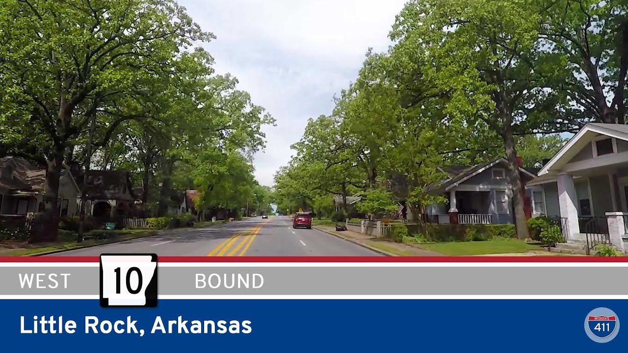
The final leg of this drive edges closer to Little Rock’s city limits. Before we fully join the urban grid, we pass the intersection with Arkansas Highway 300, a rural connector that runs south and west to places like Roland and Pinnacle Mountain State Park. From here, AR-10 continues straight into west Little Rock, transforming from a winding two-lane rural highway into Cantrell Road — a major artery carrying commuters, shoppers, and sightseers alike into the heart of the capital city. For drivers wanting a calm, green approach into town, this route is a great alternative to busier interstates or freeways.
🗺️ Route Map
0 Comments