Looking for a front-row seat to one of Texas’s major east-west corridors? Join us as we drive 166 miles west along Interstate 30 from Texarkana to Dallas, crossing the rolling landscapes and fast-growing cities of Northeast Texas. From the quiet tree-lined outskirts of Texarkana to the sprawling urban expanse of Dallas, this journey captures a fascinating mix of small-town charm, military significance, lakefront views, and metro hustle. Whether you’re a commuter, trucker, road tripper, or just a fan of highway journeys, this stretch of I-30 doesn’t disappoint.
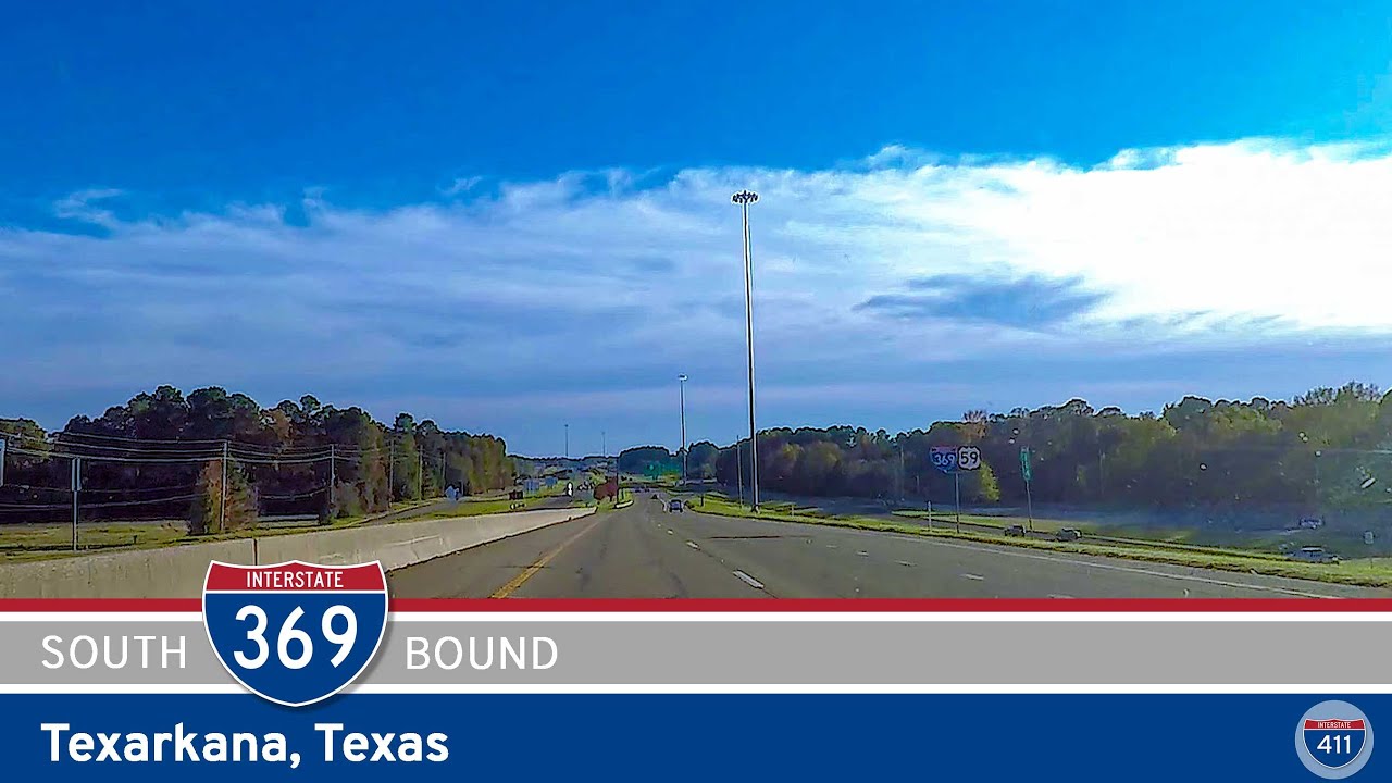
We begin right at the state line in Texarkana, where I-30 cuts through a mix of commercial and residential zones on the Texas side. Shortly after entering the Lone Star State, we pass several local exits before meeting the northern terminus of Interstate 369, which serves as a western bypass around the city. As we roll westward, the suburbs of Nash and Leary give way to more open land, with the Red River Army Depot looming to the south—an important logistics and repair facility for the U.S. military. Just beyond, we reach New Boston, a small town that serves as a pit stop for many travelers with food options and fuel just off the highway.
After the interchange with Texas State Route 8, I-30 veers slightly southwest near U.S. Highway 82, carrying us deeper into Northeast Texas. This portion of the drive is noticeably more rural, lined with trees and farmland. Soon we’re entering the city of Mount Pleasant, a regional hub known for its historic downtown and proximity to Lake Bob Sandlin and Titus County Veterans Memorial. We cross U.S. 259, and before long, we hit the U.S. 271 interchange as we leave Mount Pleasant behind and continue west through Mount Vernon, a peaceful community with a charming courthouse square and ties to local wine trails.
Past Texas Route 37, I-30 meets U.S. 67 just before dropping into Sulphur Springs. This town is a highlight of the route, offering not only plenty of places to stop and eat but also quirky attractions like the glass-walled public restrooms in the town square and the Hopkins County Veterans Memorial. Interchanges with TX-154 and TX-11 guide us through and out of town as the road continues to flatten out and open up again.
Roughly 20 miles west of Sulphur Springs, we approach Greenville, passing TX-24 before entering the city itself. Greenville is the seat of Hunt County and features multiple junctions—U.S. 69 and U.S. 380 among them. From here, the landscape begins to subtly shift. We’re now closer to the edge of the Dallas-Fort Worth Metroplex, and the feel of the drive changes accordingly. Suburban sprawl becomes more noticeable as we cruise through Royse City and Fate, communities that have grown rapidly in recent years due to their location on the I-30 corridor.
Arriving in Rockwall, we catch our breath—literally and figuratively—before crossing the scenic Lake Ray Hubbard. This man-made lake offers sweeping water views and is a favorite for boating, fishing, and waterside dining. It also marks a transition: once across, we’re no longer in exurbia—we’re in the thick of Mesquite, a major Dallas suburb. Along the way, we pass the southern endpoint of the President George Bush Turnpike (TX-190), a key east-west toll route circling the metro.
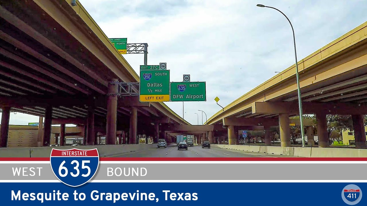
From Mesquite, it’s a straight shot southwest into Dallas proper. Interstate 30 remains elevated for much of this final stretch, giving glimpses of the skyline as we approach. The video concludes at the I-635 (LBJ Freeway) interchange on the eastern edge of Dallas, a key access point for destinations north toward Richardson and Garland or further south into southeast Dallas neighborhoods.
🗺️ Route Map

0 Comments